account arrow-down arrow-left arrow-right closecontact-us emailFacebookheart instagramjoin linkedin phonepinterestplaysearch twitteryoutube

Norfolk & Suffolk Broads

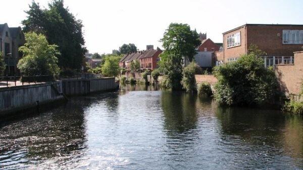
The Broads system consists principally of tidal rivers over which there is a presumption of public right of navigation. 

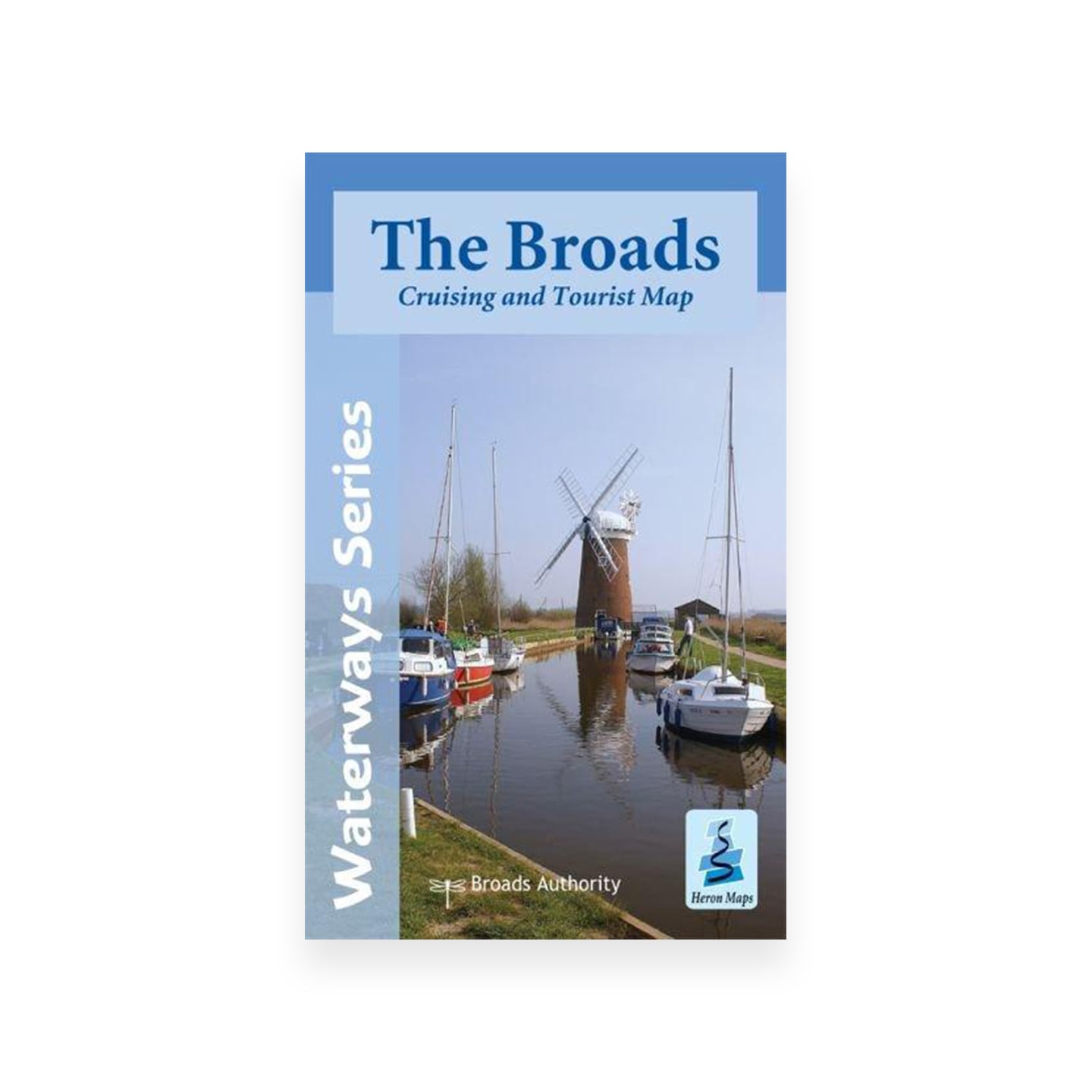
Map of the Norfolk and Suffolk Broads Area

Facts & Stats

110.7 miles

(177km)

The total navigable length of the main rivers and cuts in the Norfolk and Suffolk Broads.

1 lock

Navigable

There is now only one navigable lock, Mutford Lock, at Lowestoft on the River Waveney, in the Broads area.


The Main rivers and cuts of the broads

Man-made dykes, channels and basins have been added to the main rivers and broads, and the legal status of some of these is unclear.

The main rivers and cuts comprising the Norfolk & Suffolk Broads are:

  • River Ant – 8.3 miles (12.2 km)
  • River Bure – 31.3 miles (50.3 km) with a further 9 miles (14.5 km) and 5 locks derelict
  • River Chet – 3.5 miles (5.6 km)
  • Haddiscoe New Cut – 2.5 miles (4 km)
  • Oulton Broad and Dyke – 4.5 miles (7.2 km)
  • Stalham Dyke – 1.6 miles (2.4 km)
  • River Thurne – 5.8 miles (9.2 km)
  • River Waveney – 21.6 miles (34.7 km), and 1 lock, with a further 4.2 miles and 3 locks derelict
  • River Yare – 31.6 miles (50.8 km)

The river Ant connects to the North Walsham & Dilham Canal, which is currently closed but under restoration. 


History

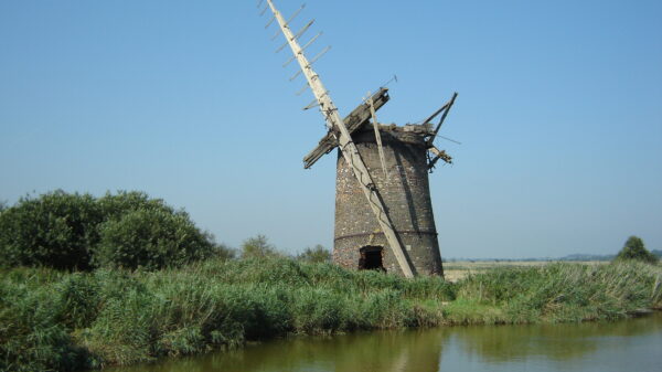
By the 12th century much of the woodland in this area had been cleared for fuel and building and over the next few centuries, peat was extracted in large quantities. The pits gradually began to fill with water, forming a wetland landscape rich in wildlife. The waterways were vital for communications and commerce. By the 16th century, Norwich was the second largest city in England after London. Goods from the city were exported world-wide through Great Yarmouth. The arrival of the railways brought competition for waterways transport but also brought visitors to the Broads.

Waterway notes

Maximum Boat Sizes

The maximum size of vessels that can use the Broads is not limited by locks (other than Mutford Lock), and craft with a height of 6′ 6″ (2 metres) and draught of 5′ (1.5 metres) can access most parts of the Broads.

Waterway underfunding

Hundreds of miles of waterways – along with their unique heritage and habitats – are currently starved of funding and rely on constant lobbying by us to safeguard their future.

Sustainable Boating

We want boating on canals and rivers to be more sustainable and – even though the current overall contribution to UK carbon emissions is very small – we want to help reduce emissions on the waterways.

Waterways Heritage at Risk

Britain’s canals and rivers are a unique, living heritage. But that heritage is at risk – from urban development, lack of protection, loss of skills and knowledge and climate change.

You can help Save Waterways Heritage.

Waterway restoration

Restoring the UK’s blue infrastructure – our inherited network of navigable canals and rivers – is good for people and places.

Local activities