account arrow-down arrow-left arrow-right closecontact-us emailFacebookheart instagramjoin linkedin phonepinterestplaysearch twitteryoutube

Market Weighton Canal

The Market Weighton Navigation starts at Weighton Lock on the Humber Estuary and ran to Canal Head, a couple of miles short of Market Weighton.  Today, the Canal is only navigable at best as far as Sod House Lock, 6 miles upstream.

Map showing the Market Weighton Canal

Facts and Stats

9.6 miles

(15.5 km)

Length of the canal

6.0 miles

(9.7 km)

Length of canal now open to Navigation

4 locks

One Lock (Weighton Lock at the entrance) is navigable; the other three are derelict.

About the Market Weighton Canal

The Canal was authorised by an Act of Parliament in 1772 and opened in 1782, and is partly the canalised river Foulness.  It was built jointly for both navigation and drainage purposes, with the latter as its primary function, to the extent that locks were required not to hold water back above a certain height.  It was originally intended to build the canal to the town of Market Weighton, but funds ran out, and the canal stopped short as further construction would have required more locks as the ground rose on the way to the town.

In 1834, a 0.75-mile private branch – the Holme Canal – was constructed from just above Holme Ing Lock (the further lock from the Humber).  This was also known as Sir Edward Vavasour’s Canal after its promoter.  In 1850, the Market Weighton Canal was sold to the York and North Midland Railway (later the North Eastern).  The canal’s commissioners, however, remained in control, and the Holme Canal remained private.  From the mid-1860s, the upper 3.5 miles of the canal and two locks were allowed to silt up owing to lack of trade, and this section was consider unnavigable by 1894.  Under the Market Weighton Drainage Act 1900, the North Eastern Railway abandoned its interest, and the canal was abandoned above Sod House Lock. Traffic ceased in 1958 and in 1971, the entrance lock was abandoned in favour of electro-mechanical drainage sluices.

[The photo shows the bi-directional (tidal) lock linking the Market Weighton Canal to the Humber Estuary  –  by Graham Hoggcc-by-sa/2.0  geograph.org.uk/p/6021836]

When Market Weighton Civic Trust heard that the lock was likely to be demolished, the Trust moved quickly and their action led to the whole structure being listed as an ancient monument in 1972 and, with public pressure, the lock was repaired and reopened.  Further repairs and an overhaul of the structure were carried out in 1994 by the National Rivers Authority at a cost of £1.5 million.  The Authority’s successors, the Environment Agency now controls the lock and the Ouse and Humber Drainage Board looks after the canal as far as its junction with the river Foulness, above which the canal is badly silted and only passable in the shallowest of boats.

Spurred on by the Canals Committee of Market Weighton Civic Trust, Market Weighton Canal Society formed, and undertook clearance work on all the upper three locks during the 1970s and early 1980s, but the Society had few supporters and gradually fizzled out.

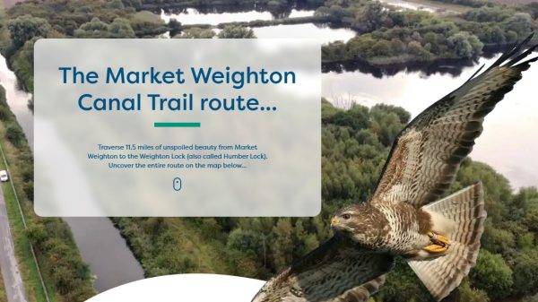
2023 saw the launch of the Market Weighton Canal Trail.  This scenic trail unfolds along public rights of way, spanning approximately 11.5 miles to reach the north bank of the River Humber. The initial two miles trace the path of the planned but never constructed canal. The subsequent four miles reveal the legacy of navigation rights abandoned in 1900, with some segments having been infilled. The final six-mile stretch,  unfolds on a flat and easily accessible path, punctuated with various historical points of interest.

[The photo shows a work party at one of the three locks in 1973]

Waterway underfunding

Hundreds of miles of waterways – along with their unique heritage and habitats – are currently starved of funding and rely on constant lobbying by us to safeguard their future.

Sustainable Boating

We want boating on canals and rivers to be more sustainable and – even though the current overall contribution to UK carbon emissions is very small – we want to help reduce emissions on the waterways.

Waterways Heritage at Risk

Britain’s canals and rivers are a unique, living heritage. But that heritage is at risk – from urban development, lack of protection, loss of skills and knowledge and climate change.

You can help Save Waterways Heritage.

Waterway restoration

Restoring the UK’s blue infrastructure – our inherited network of navigable canals and rivers – is good for people and places.