The River Ure Navigation runs from Oxclose lock, where it joins the Ripon Canal, to its confluence with Ouse Gill Beck. Here, the river’s name changes to the River Ouse. The Navigation was built in two parts. The section upstream from Ouse Gill Beck to the confluence with the river Swale was opened in 1769 as part of the Yorkshire Ouse Navigation. Shortly after, the section to Oxclose Lock was opened in 1773. This was opened at the same time as the Ripon Canal.
The lower section, from Ouse Gill Beck to the river Swale came under the jurisdiction of the Linton Lock Commissioners. The upper section was constructed by the Company of Proprietors of the River Ure Navigation to Ripon. This was eventually acquired by the North Eastern Railway in 1854.
Part of the Ripon Canal became derelict, and was subsequently restored. However, the River Ure Navigation remained open throughout. This was largely due to use by members of Ripon Motor Boat Club, whose moorings are half way along the Ripon Canal. The River Ure Navigation north of the River Swale was nationalised in 1948. Whereas the lower part remained under the Linton Lock Commissioners until 1999 when their responsibilities were taken over by British Waterways.
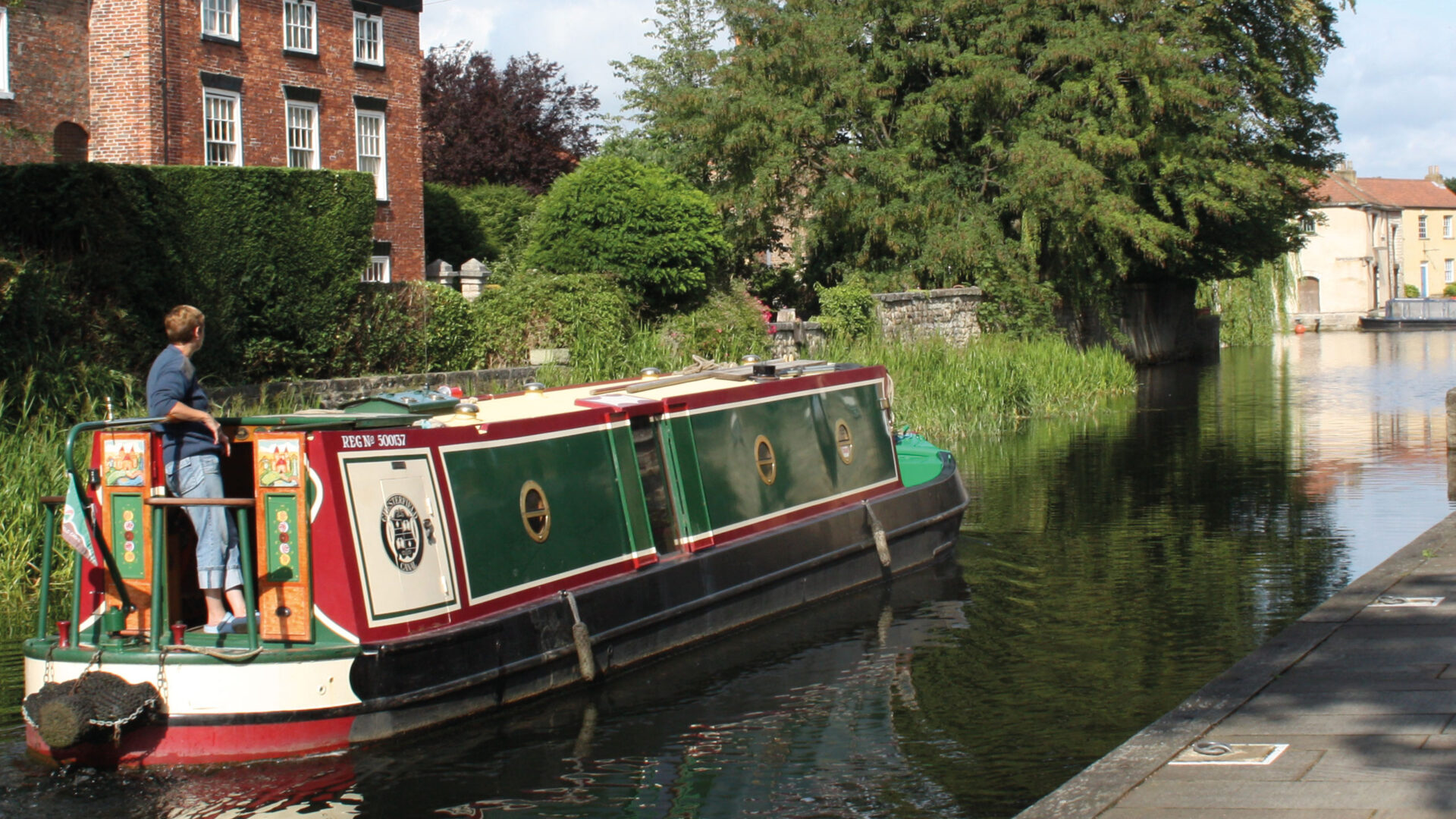
The Ure Navigation is rural throughout its course, other than skirting north of Boroughbridge. There is a towpath along the whole Navigation, but there are few convenient moorings, other than adjacent to the two locks. Although Canal & River Trust is the navigation authority, most of the river and towpath is not owned by the Trust. For this reason, the towpath can become overgrown.
[The photo shows cruisers moored at Newby Hall landing on the River Ure – by Roger Butler]