account arrow-down arrow-left arrow-right closecontact-us emailFacebookheart instagramjoin linkedin phonepinterestplaysearch twitteryoutube

Wey & Arun Canal

The Wey and Arun Junction Canal connected the River Wey & Godalming Navigations just south of Guildford to a junction with the Arun Navigation at Newbridge, which then connected to the navigable River Arun at Pallingham Lock, then via the Portsmouth & Arundel Canal to Portsmouth, providing the summit link of London’s Lost Route to the Sea.

Map showing the Wey and Arun Canal, including the Arun Navigation

Wootton Brook Towpath upgrade
Volunteers working on the Wey &Arun canal restoration

Facts & Stats

23 miles

(37km)

The length of the Wey & Arun Junction Canal and the Arun Navigation.

26 locks

23 on the Wey & Arun Junction Canal, and 3 on the Arun Navigation, one of which was a double lock.

1871

Year closed

The Fall and Rise of the Wey and Arun Canal

The Wey and Arun Canal was promoted by the Earl of Egremont in 1810 as the final part of a navigable route from London to Portsmouth without going to sea, which was considered of military importance in the Napoleonic Wars.  However, the wars were over before the canal opened in 1816, and it was never a commercial success.  The canal was formally closed in 1868, before which it had become little used.

Just over 100 years later, in 1971, The Wey and Arun Canal Society was formed (and in 1973 became The Wey and Arun Canal Trust), initially with the aim of preserving the remains of the canal, but soon to promote full restoration of both the Wey and Arun Junction Canal and the Arun Navigation, and so to recreate London’s Lost Route to the Sea.

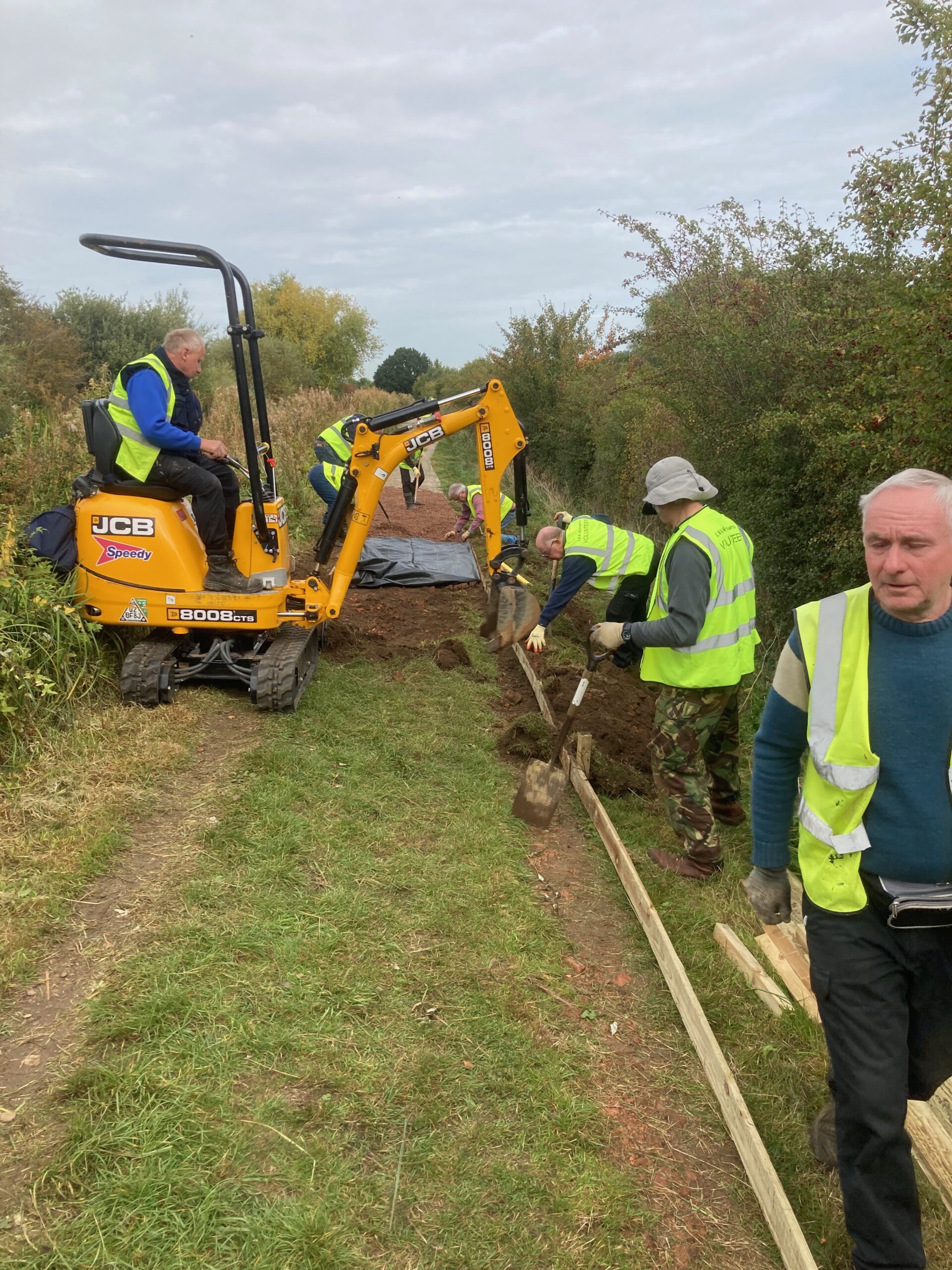
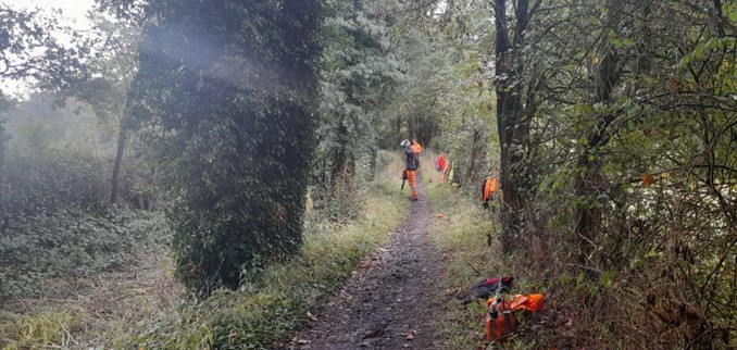
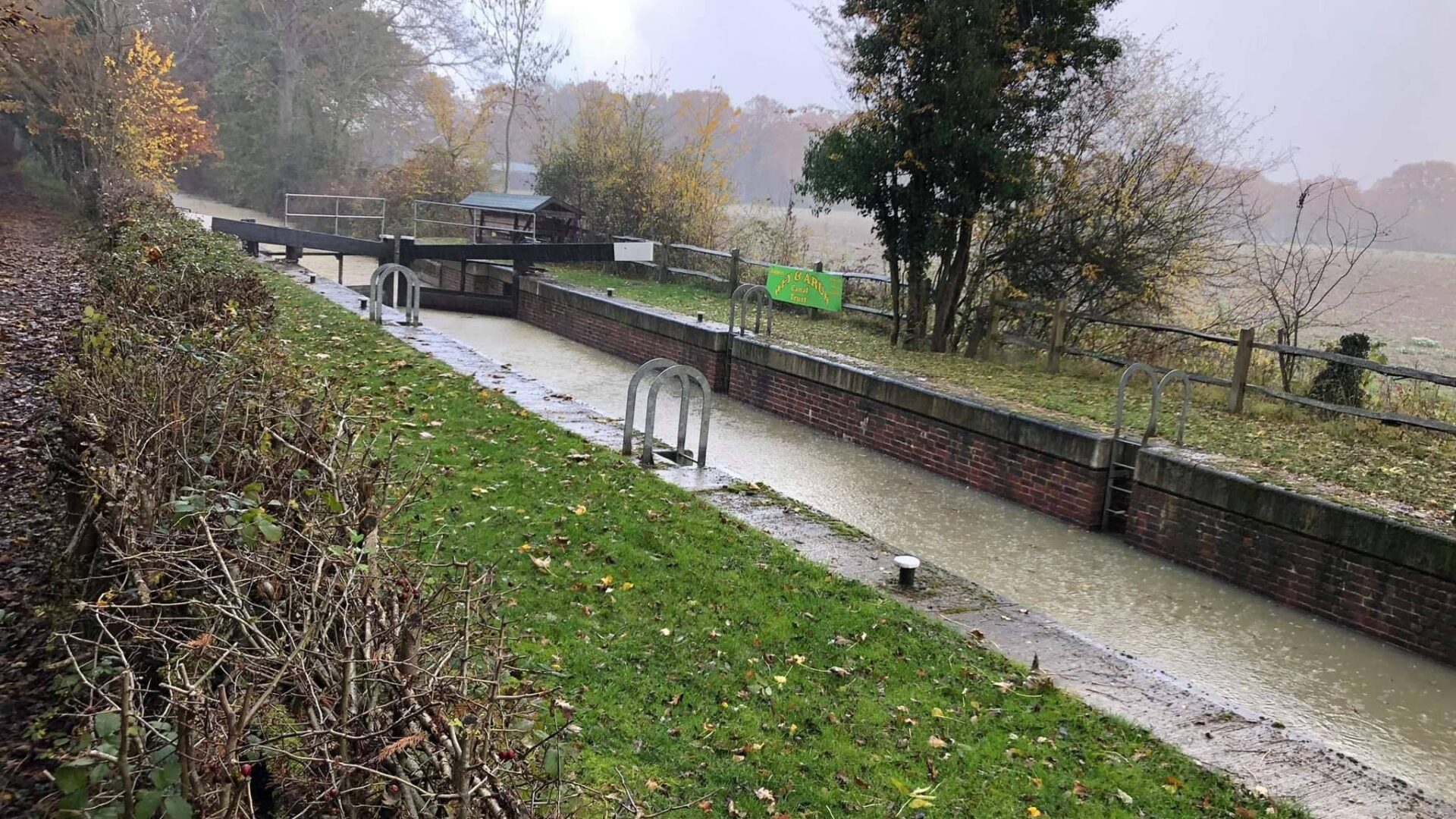
The Trust’s 3,000 members, volunteers and staff have restored significant stretches and have a showcase site at Loxwood, West Sussex.  The Trust runs public boat trips from Spring to Autumn (water supplies permitting) as well as welcoming canoeists and paddleboarders.  One of the Trust’s earliest successes was the creation of a long-distance footpath the Wey-South Path, which is shown on Ordnance Survey maps, and runs either next to or near to the canal route.

Local Events

Waterway underfunding

Hundreds of miles of waterways – along with their unique heritage and habitats – are currently starved of funding and rely on constant lobbying by us to safeguard their future.

Sustainable Boating

We want boating on canals and rivers to be more sustainable and – even though the current overall contribution to UK carbon emissions is very small – we want to help reduce emissions on the waterways.

Waterways Heritage at Risk

Britain’s canals and rivers are a unique, living heritage. But that heritage is at risk – from urban development, lack of protection, loss of skills and knowledge and climate change.

You can help Save Waterways Heritage.

Waterway restoration

Restoring the UK’s blue infrastructure – our inherited network of navigable canals and rivers – is good for people and places.

Local activities