Risk Index
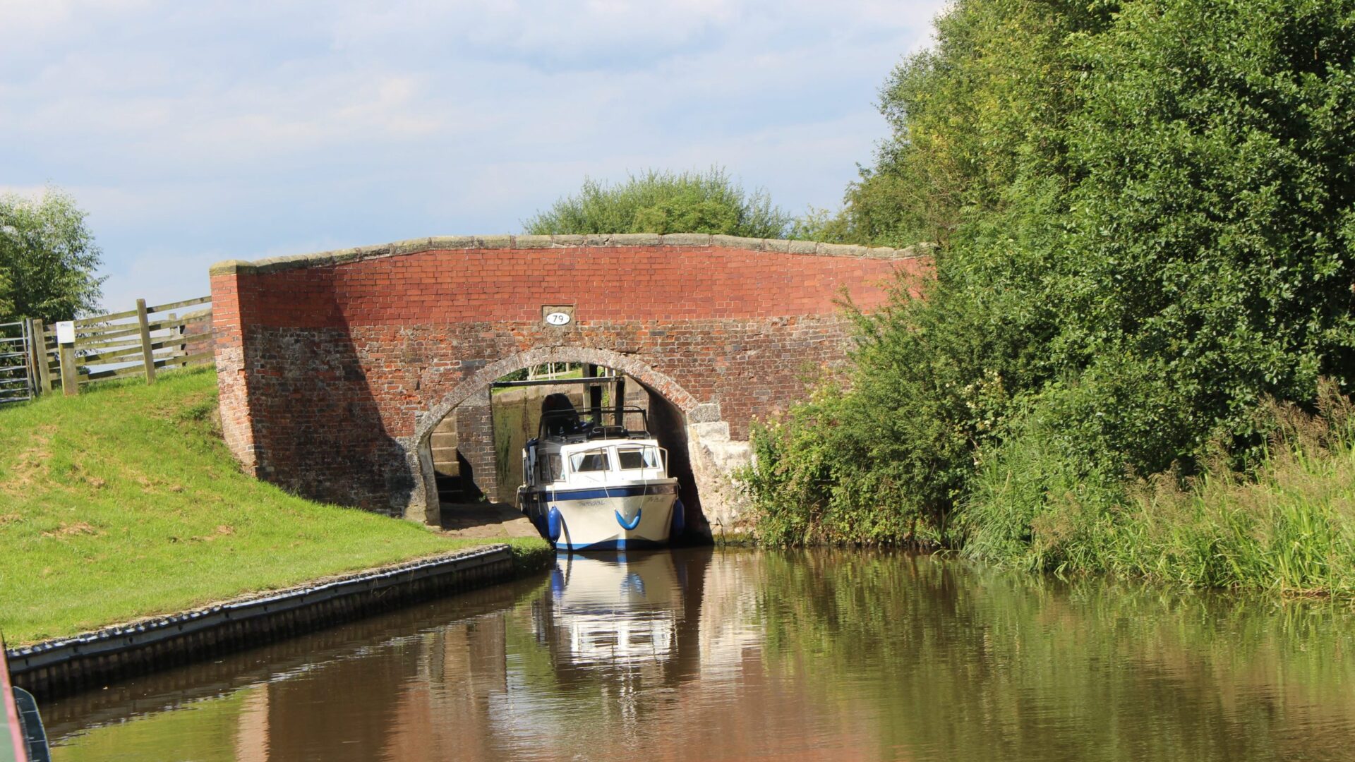
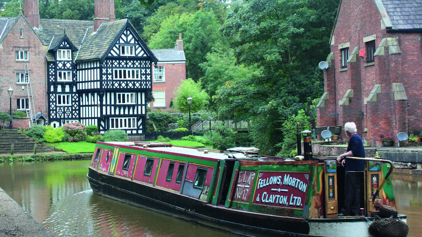
IWA has produced a first-of-its-kind map revealing the likely impact of 2C degrees warming (predicted by the Climate Change Committee to be possible by 2050) on Britain’s 5,000-mile network of canals and navigable rivers. We also mapped heritage at risk and the indefinite stoppages across the network.
These were our key findings:
- Three-quarters of Britain’s canals face financial insecurity, with the majority of the nation’s navigation authorities struggling to maintain essential infrastructure amid declining funding;
- Climate pressures are intensifying, with new mapping showing every waterway in Britain will face greater risk from drought in summer and floods in winter; and
- The combination of reduced funding and rising climate impacts creates a “perfect storm” or the nation’s 5,000-mile canal and river network, threatening heritage, navigation, tourism, wildlife, utilities, homes, communities and businesses.
The map is very much a framework on which to build future campaigns, and we’ll keep it live as more heritage at risk or indefinite stoppages are identified.