

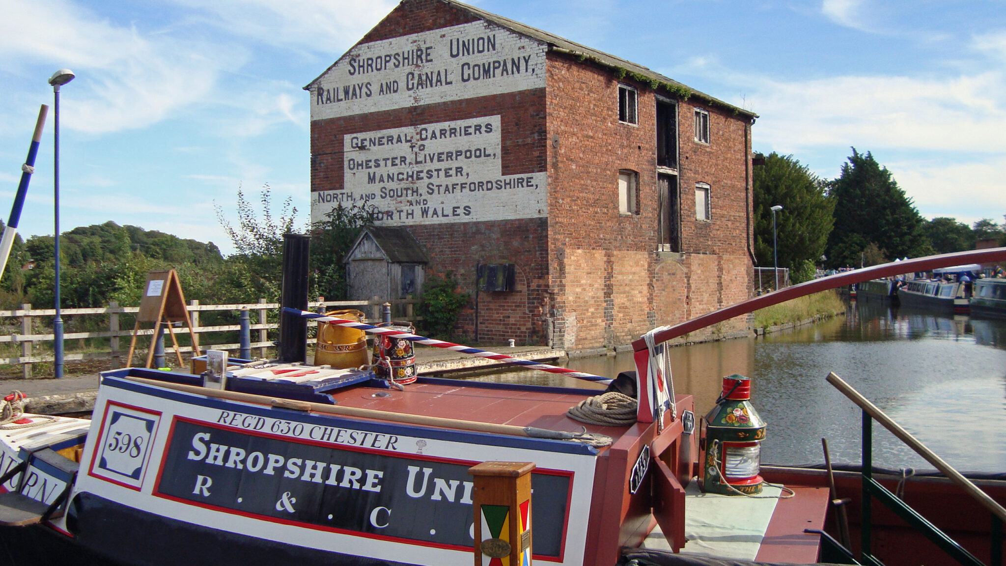


About the Llangollen Canal
The Llangollen Canal is one of the most popular holiday inland waterways and can become very busy during the summer months. It is rightly famous for the 1007-foot long Pontcysyllte Aqueduct towering about the Dee Valley, but the whole of the Welsh section offers some of the most scenic views from a UK canal. The canal had a complicated construction, but was largely opened by 1806 and became moderately successful in economic terms. It was taken over by rail companies and traffic dwindled to almost nothing prior to the Second World War. The Canal was abandoned in 1944, and the then Shropshire and Denbighshire county councils put forward plans to drop road bridges in 1949. The waterway was kept open as a water supply and the developing leisure interest of the 1950s saw its revival.
Facts and Stats
Pontcysyllte Aqueduct
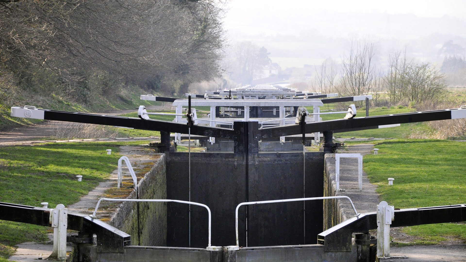
Waterway Notes
Facilities for Boaters
Notes for Visitors
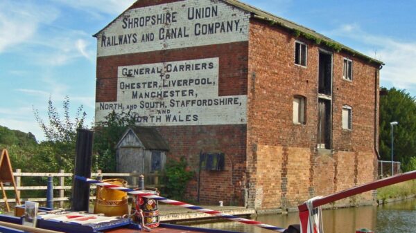
History – Building the Canal
History – Expansion
History – Fall and Rise
Llangollen Canal connections
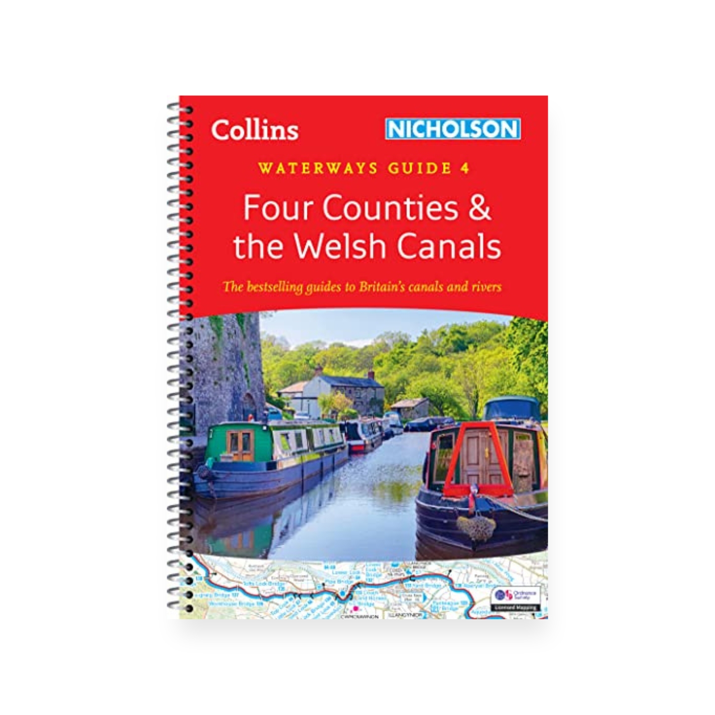
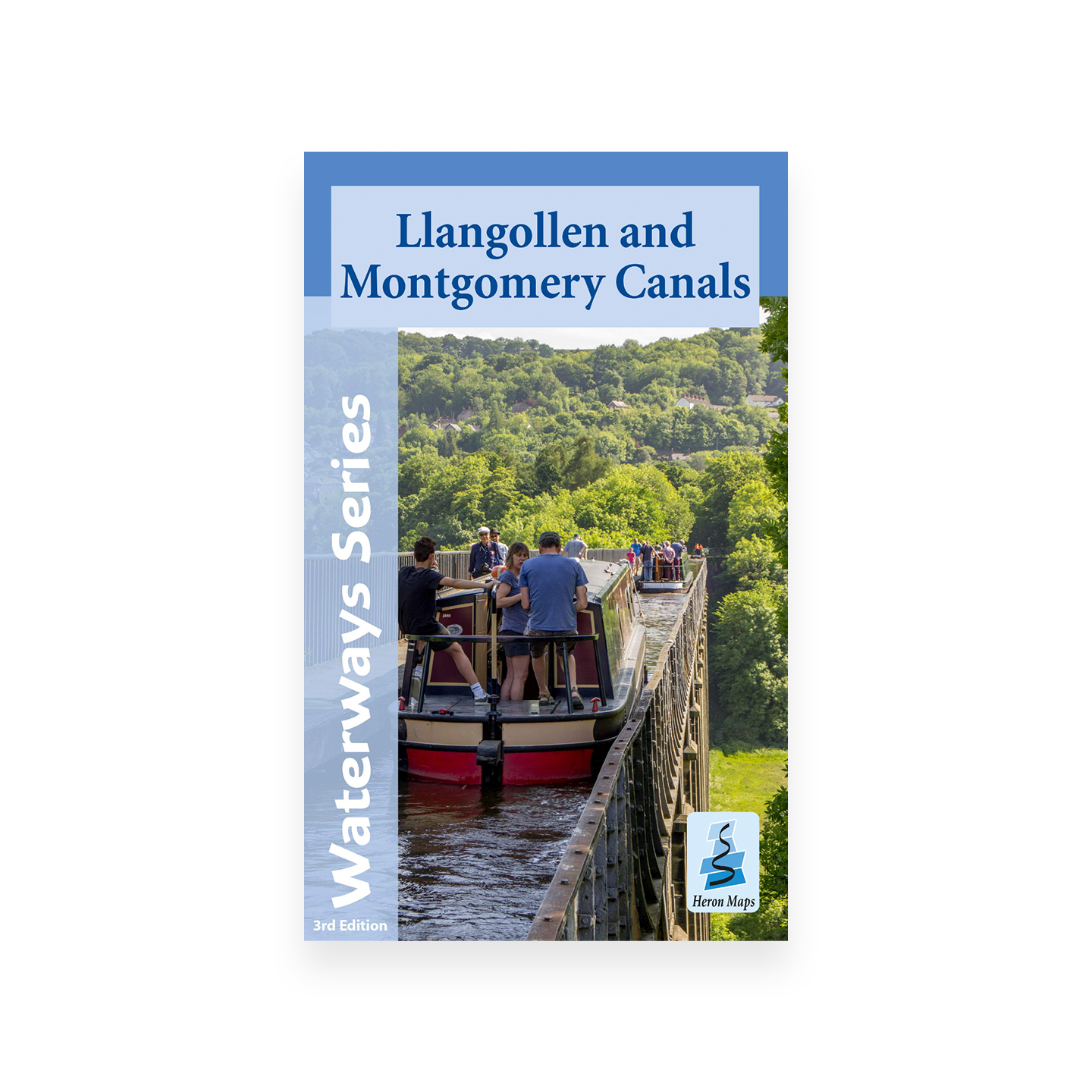
Llangollen Canal maps and guides
The name ‘Llangollen Canal’ is a relatively new one for what was for many years known as the ‘Ellesmere Canal’ and the ‘Welsh section’ of the Shropshire Union Canal. The new name only became used once the route with the opening up of leisure traffic in the 1950s after becoming all but derelict, having been kept open just for water supply, despite being legally abandoned in a 1944 Act of Parliament. An early, possibly the earliest, printed use of the name ‘Llangollen Canal’ is in a November 1951 edition of a British Waterways staff magazine.
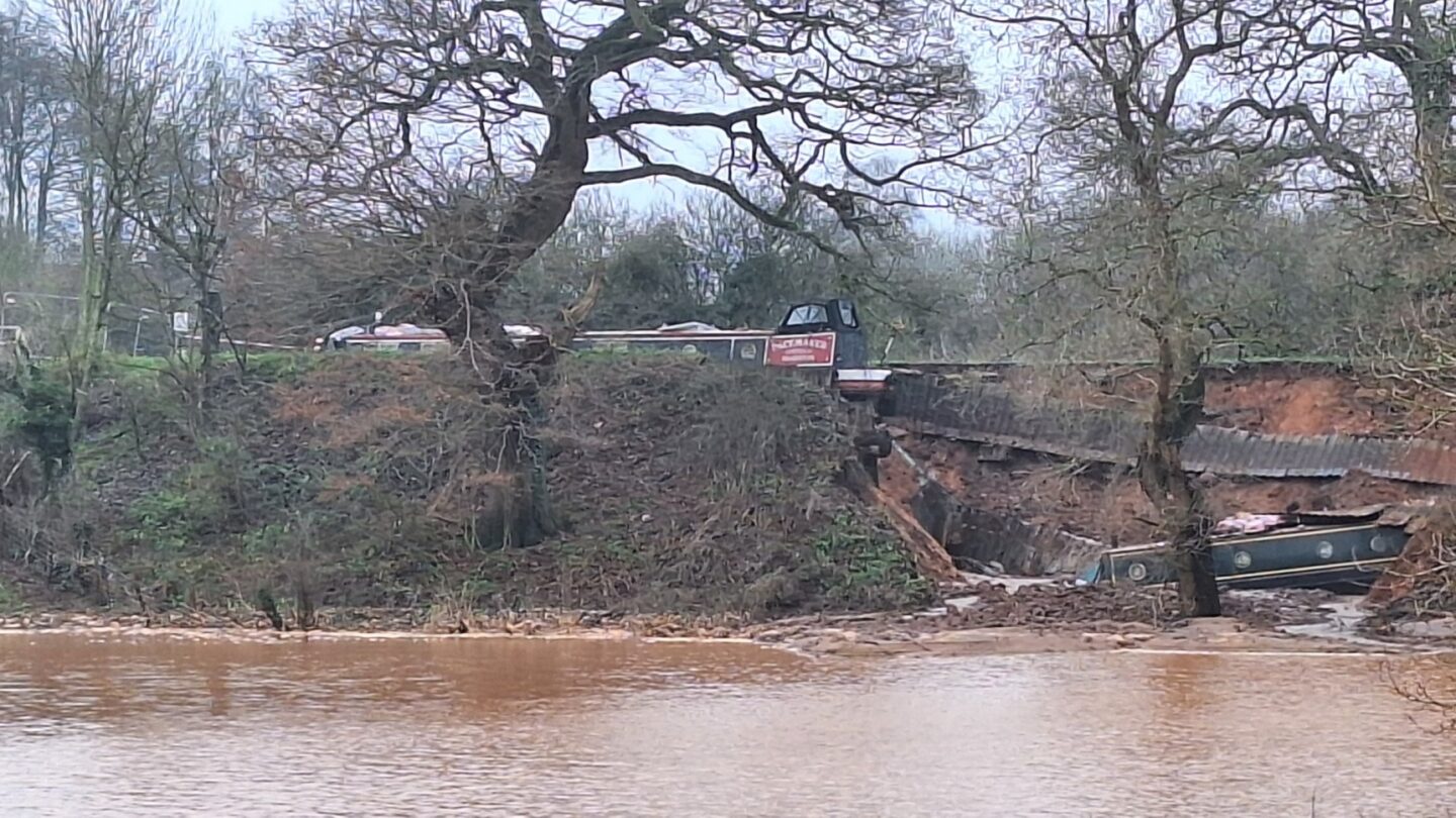
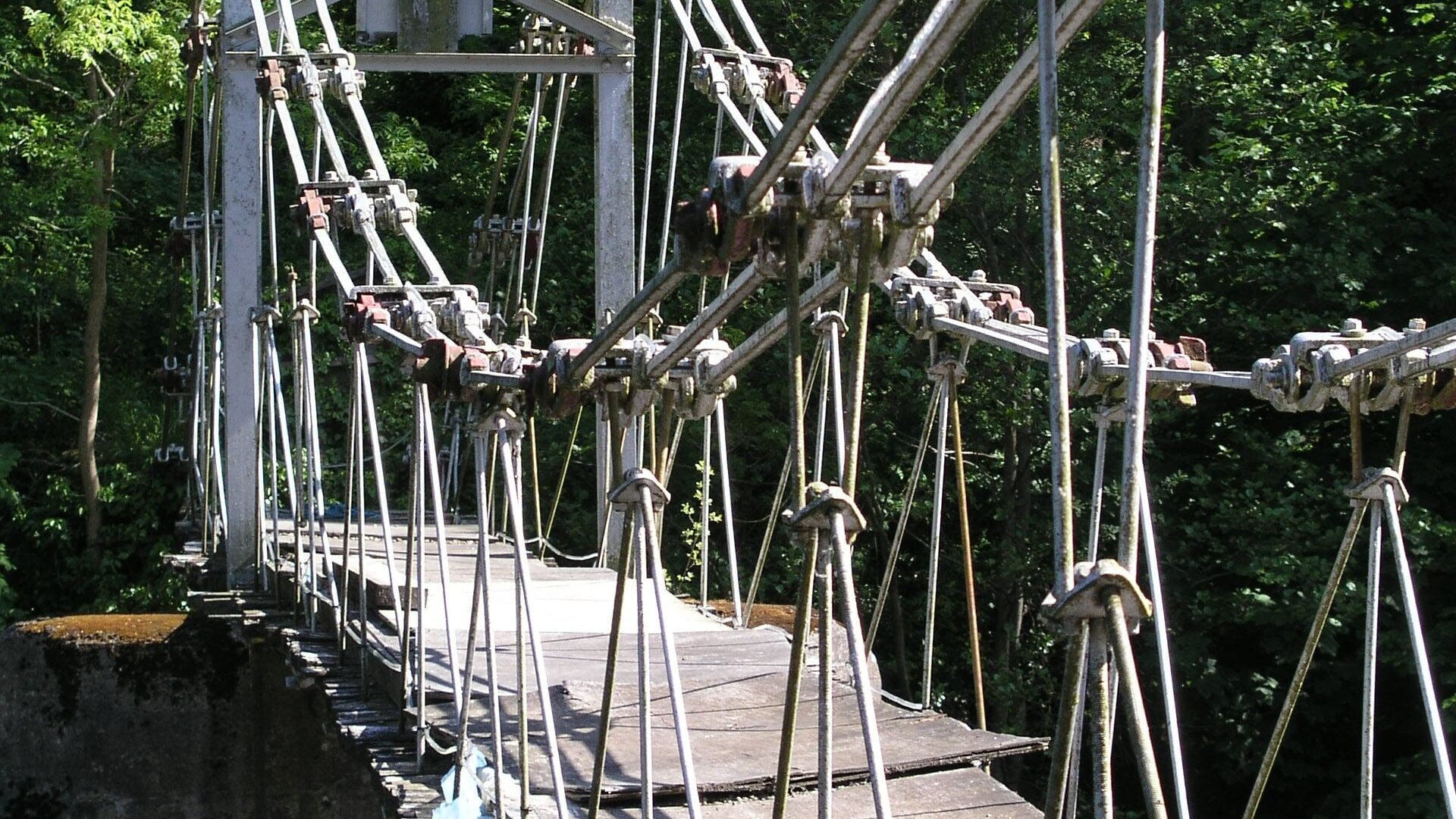
[The photo shows a boat on the narrow feeder section of the Llangollen Canal above Trevor – by Sue O’Hare]