account arrow-down arrow-left arrow-right closecontact-us emailFacebookheart instagramjoin linkedin phonepinterestplaysearch twitteryoutube

River Thames – non-tidal

The non-tidal River Thames is navigable and managed by the Environment Agency from Teddington upstream as far as Cricklade Bridge, although the usual limit of navigation for most craft is considered to be Ha’penny Bridge, Lechlade, as the river becomes shallower and more overgrown after this.  The right of navigation extends a further 5 miles (8 km) to Thames Head Bridge.

River Thames Map

Facts & Stats

135 miles

(217.3km)

The length of the non-tidal River Thames from Teddington to Cricklade Bridge.

44 locks

With the parallel locks at Teddington counted as 1 lock.  As well as the main lock, there is a larger Barge Lock and a small skiff lock.

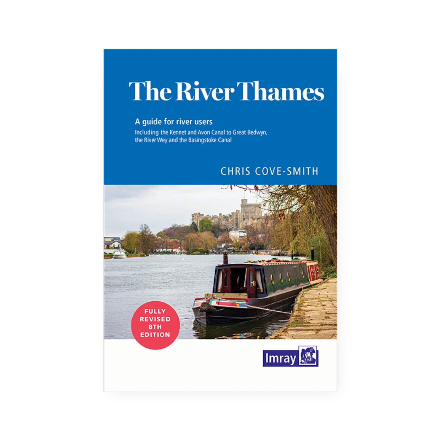
From Lechdale to the sea

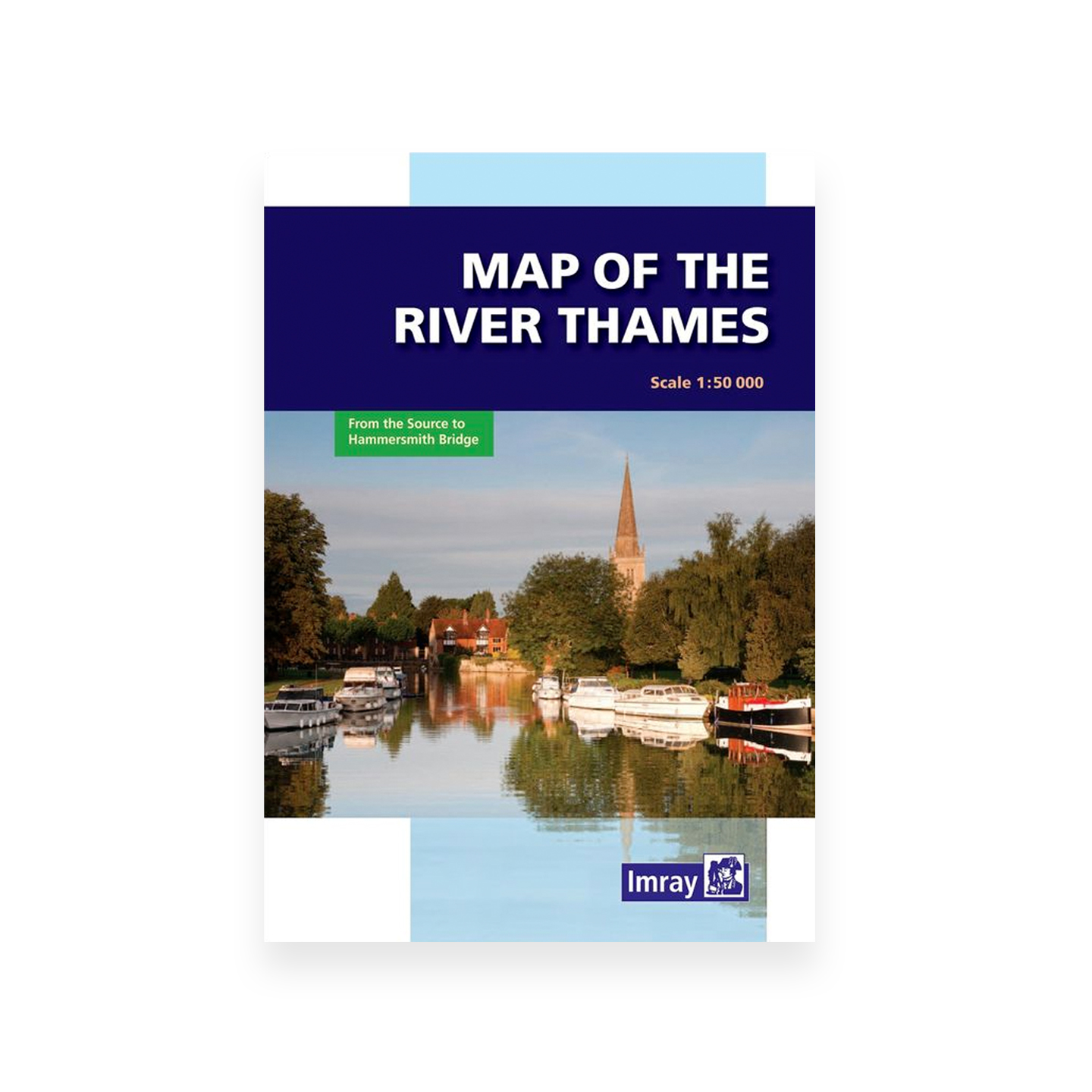
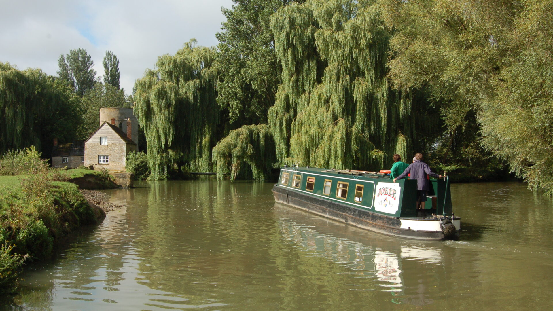
Technically, Cricklade is the head of the navigation but few boats venture above Inglesham and the old junction of the river with the Thames and Severn Canal at the Round House.  A stone obelisk 165 yards below Teddington Lock marks the boundary of the Environment Agency’s navigation responsibilities.

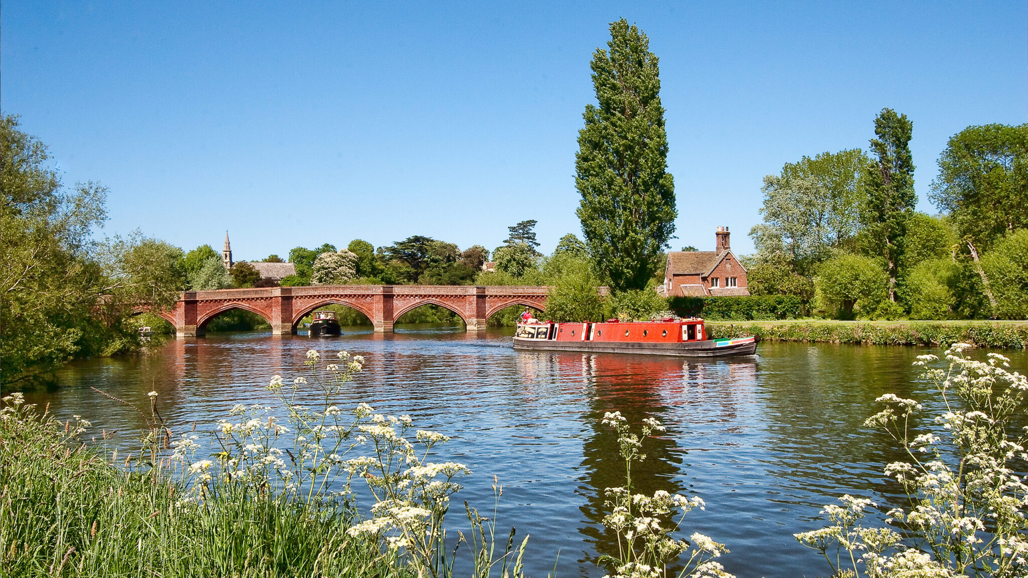
The Thames is joined by the Oxford Canal via Sheepwash Channel and Duke’s Cut at Oxford, by the river Kennet and the Kennet & Avon Canal at Reading and the River Wey Navigation at Shepperton.   The river Thames joints near Dorchester and is navigable by small craft for a short distance.

A charter in 1197 first gave conservation rights for this river to the Mayor and Corporation of London. Above Staines, local communities maintained the river. Boats were able to reach Oxford from the twelfth century. There were gradual improvements and in 1771, an important Act of Parliament was passed increasing the number of commissioners and dividing the river into five districts above Staines. The new commissioners were granted wide powers of improvement and built eight new pound locks.  In 1857 the commissioners were replaced by the Thames Conservancy, and 1974 management was transferred to Thames Water Authority.  When the water companies were privatised in 1989, navigation was transferred to the National Rivers Authority, then to the Environment Agency on its creation in 1996.


Waterway notes

Maximum Boat sizes

The maximum size of boat that can travel the whole of the Thames between Lechlade and Teddington is:

  • length: 109′ (33.2 m)
  • width: 14′ (4.2 m)
  • draught: 3′ (0.9 m)
  • headroom: 7’6″ (2.2m)

Larger vessels (120′ – 36.5m) can get as far Osney Lock, Oxford.

Navigation authority

Environment Agency

Details of Strong Stream Conditions, stoppages and other useful information can be found on the relevant Environment Agency web page.

Branch

Lockkeepers

Teddington Lock is manned at all times. Other locks on the non-tidal Thames are manned by lockkeepers at certain times, and open for self-operation at other times.

Waterway underfunding

Hundreds of miles of waterways – along with their unique heritage and habitats – are currently starved of funding and rely on constant lobbying by us to safeguard their future.

Sustainable Boating

We want boating on canals and rivers to be more sustainable and – even though the current overall contribution to UK carbon emissions is very small – we want to help reduce emissions on the waterways.

Waterways Heritage at Risk

Britain’s canals and rivers are a unique, living heritage. But that heritage is at risk – from urban development, lack of protection, loss of skills and knowledge and climate change.

You can help Save Waterways Heritage.

Waterway restoration

Restoring the UK’s blue infrastructure – our inherited network of navigable canals and rivers – is good for people and places.