Waterways > River Weaver
River Weaver
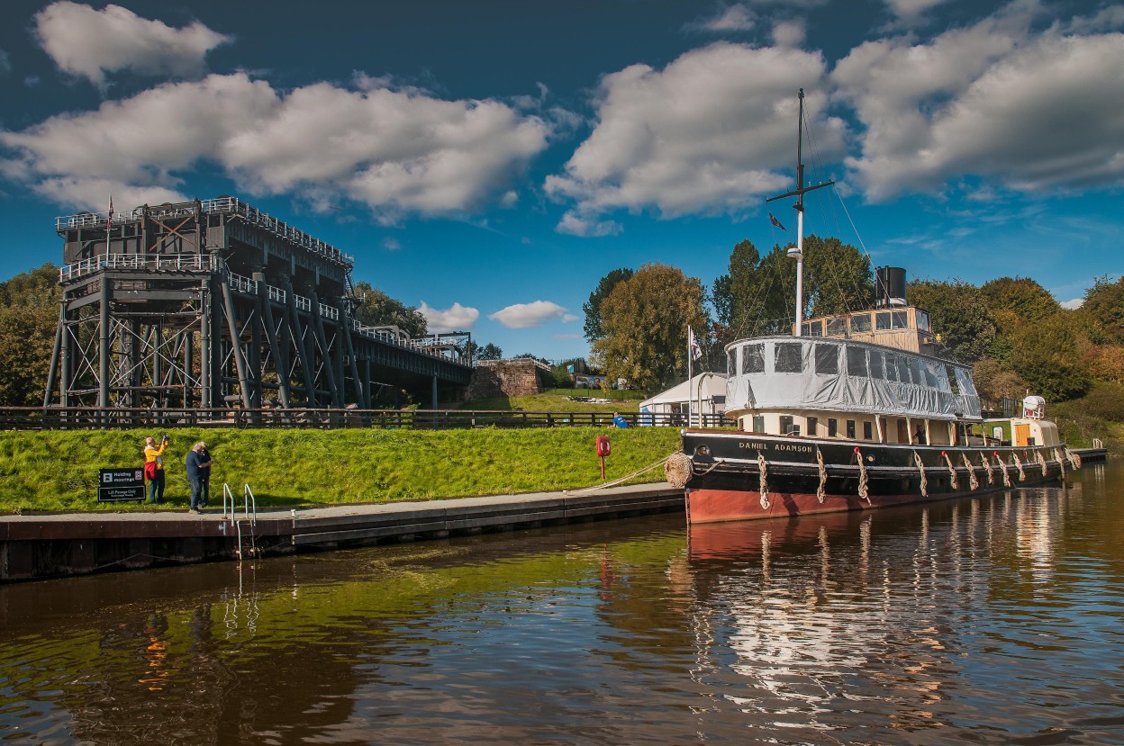
The River Weaver Navigation runs from the Manchester Ship Canal at Weston Marsh Lock and Weston Point Docks to Winsford Bridge and connects to the Trent and Mersey Canal via the Anderton Boat Lift.
River Weaver Map


Facts & Stats
20 miles
(32km)
The length of the River Weaver that is navigable.
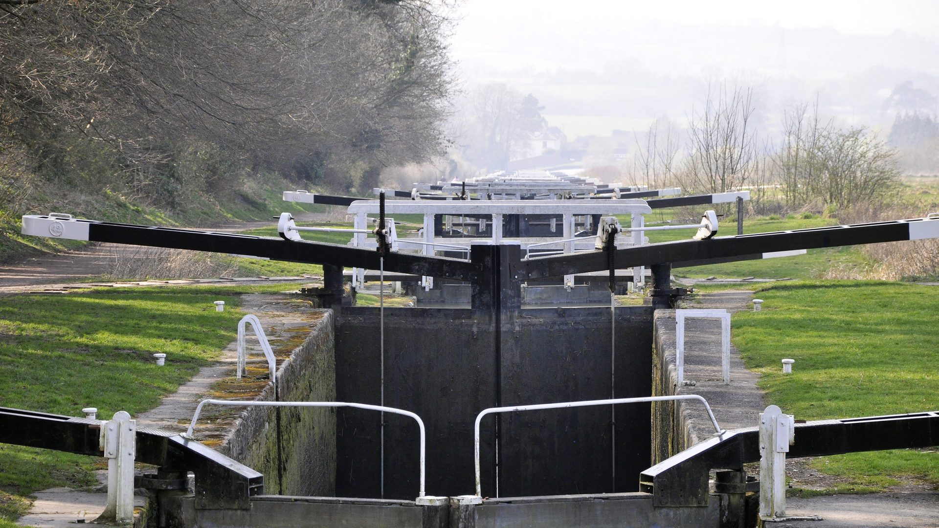
5 locks
+ Swing bridges
There is also a boat lift.
Waterway notes
Maximum boat sizes
- Length: 196′ (58.8 metres)
- Beam: 35′ (10.6 metres)
- Height: 29′ 6″ (8.9 metres)
- Draught: 9′ 10″ (3.0 metres)
Through boat lift:
- Length: 72′ (21.6 metres)
- Beam: 14′ (4.2 metres)
- Height: 8′ (2.4 metres)
- Draught: 4′ (1.2 metres)
Navigation authority
Canal & River Trust
Useful Info
- Locks, swing bridges and Anderton Boat Lift are all operated by Canal & River Trust staff.
- Navigation above Winsford Bridge and into Winsford Flash is possible, where there is no navigating authority. The Flash, especially, is very shallow in places and there is a significant risk of boats becoming stuck in the silt.
Waterway underfunding
Hundreds of miles of waterways – along with their unique heritage and habitats – are currently starved of funding and rely on constant lobbying by us to safeguard their future.
Sustainable Boating
We want boating on canals and rivers to be more sustainable and – even though the current overall contribution to UK carbon emissions is very small – we want to help reduce emissions on the waterways.
Waterways Heritage at Risk
Britain’s canals and rivers are a unique, living heritage. But that heritage is at risk – from urban development, lack of protection, loss of skills and knowledge and climate change.
You can help Save Waterways Heritage.
Waterway restoration
Restoring the UK’s blue infrastructure – our inherited network of navigable canals and rivers – is good for people and places.
Local activities
LOVE YOUR WATERWAYS
Britain's waterways are vital; together we can campaign for them now and for the future.