account arrow-down arrow-left arrow-right closecontact-us emailFacebookheart instagramjoin linkedin phonepinterestplaysearch twitteryoutube

River Nene

The navigable River Nene extends from the junction with the Northampton Arm of the Grand Union Canal to the mouth of the river on the Wash at Crab’s Hole.

Map showing the River Nene and surrounding waterways

Facts & Stats

88 miles

(142km)

The length of the River Nene that is navigable.

38 locks

1713

Improvements

An act to improve navigation on the river was passed, enabling Northampton to be reached from the sea.

From the Grand Union Canal to Crab’s Hole

Peterborough (31 miles inland) was the tidal limit until the lock and sluice were built at Dog-in-a-Doublet in 1937, a further five miles towards the sea. The Middle Level Navigations connect to the Nene at Stanground Lock, along a short arm from the river, just outside in Peterborough. There is also a 0.6 mile arm – The West Bridge Arm – in Northampton, which has been kept navigable over the years by IWA’s Northampton Branch.

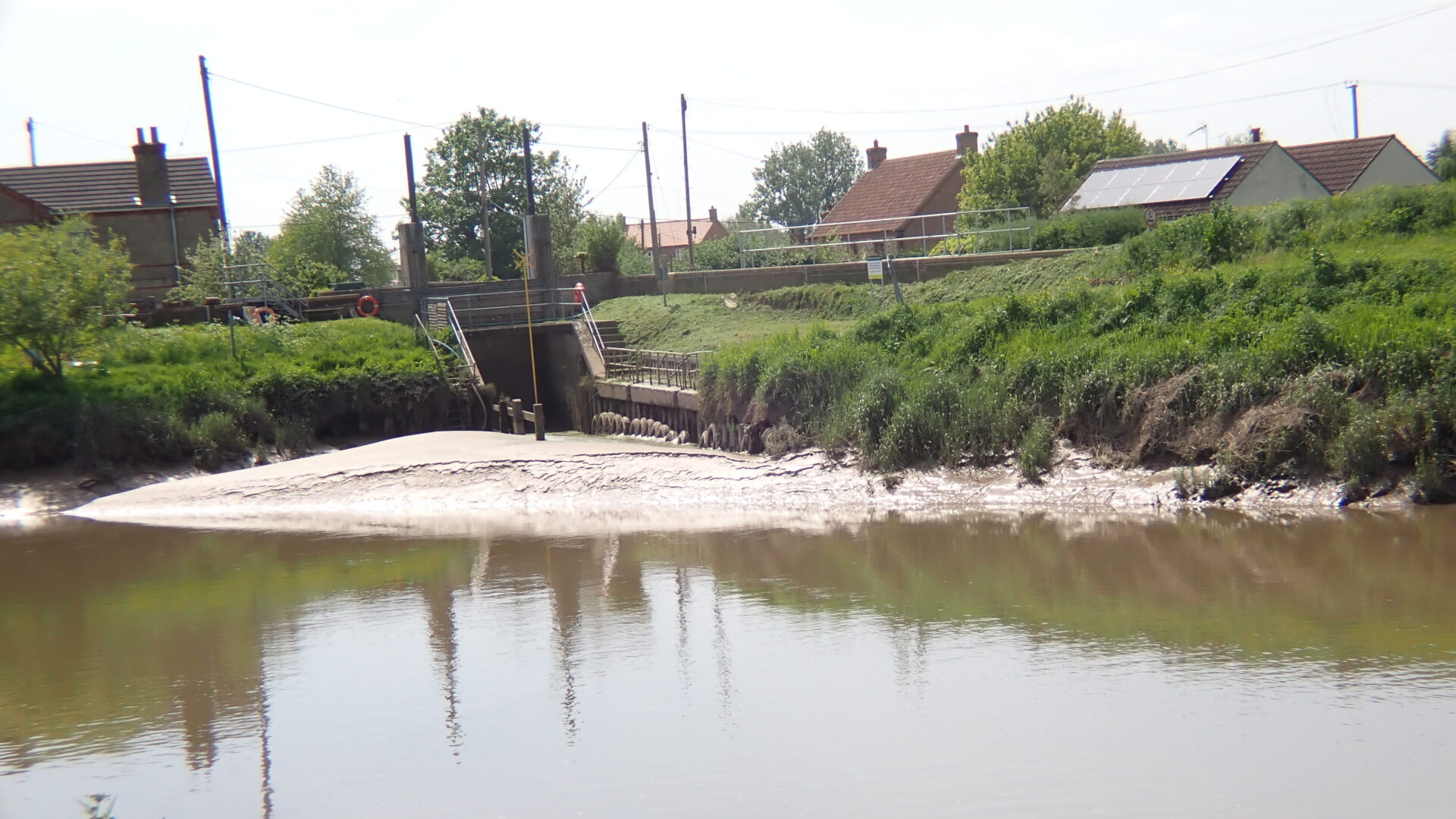
The first work to improve navigation on the River Nene began in the Middle Ages, and an Act to improve navigation on the river was passed in 1713, enabling Northampton to be reached from the sea by 1761. Fragmented management meant the Navigation remained in a poor state until 1931 when the Nene Catchment Board was established, with major improvements to the locks being undertaken during that decade. The Environment Agency is the current successor to that Board.


Waterway notes

Maximum boat sizes

  • Length: 78′ (23.7 metres)
  • Beam: 13′ (3.9 metres)
  • Height: 7′ (2.1 metres)
  • Draught: 4′ (1.2 metres)

Branch

Useful Info

There are no limiting structures, other than the A17 at Sutton Bridge, downstream of Wisbech, and the Port of Wisbech can accommodate craft upto 260′ (79.2 metres) x 40′ (12.2 metres) X 17′ (5.1 metres).

Waterway news

Waterway underfunding

Hundreds of miles of waterways – along with their unique heritage and habitats – are currently starved of funding and rely on constant lobbying by us to safeguard their future.

Sustainable Boating

We want boating on canals and rivers to be more sustainable and – even though the current overall contribution to UK carbon emissions is very small – we want to help reduce emissions on the waterways.

Waterways Heritage at Risk

Britain’s canals and rivers are a unique, living heritage. But that heritage is at risk – from urban development, lack of protection, loss of skills and knowledge and climate change.

You can help Save Waterways Heritage.

Waterway restoration

Restoring the UK’s blue infrastructure – our inherited network of navigable canals and rivers – is good for people and places.