account arrow-down arrow-left arrow-right closecontact-us emailFacebookheart instagramjoin linkedin phonepinterestplaysearch twitteryoutube

Pocklington Canal Walk – Canal Head to Bielby

Enjoy a self-guided walk along the Pocklington Canal from Canal Head to Bielby and see the restoration work along the way. The walk features Grade II listed bridges and locks. The canal is a haven for wildlife.

Walk

Branch
IWA East Yorkshire Branch
Location

Pocklington

Distance

7.8km (5 miles)

Ease

Leisurely

activity image

Walk along the 2.5 mile section of the Pocklington Canal to Bielby and back down towpath.

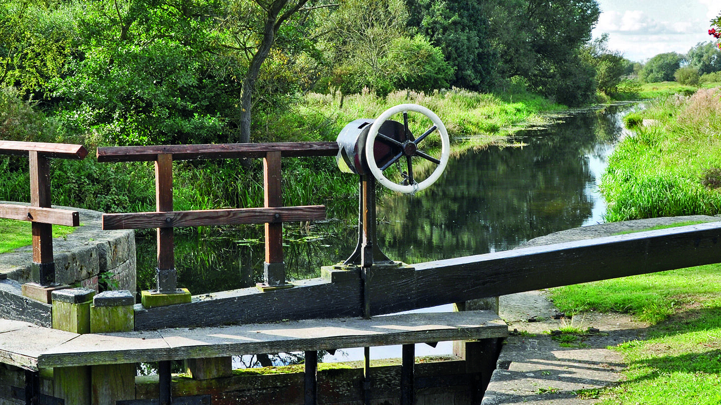
This is the final section of the Pocklington Canal left to restore – you will see that major restoration work is ongoing at Sandhill Lock.

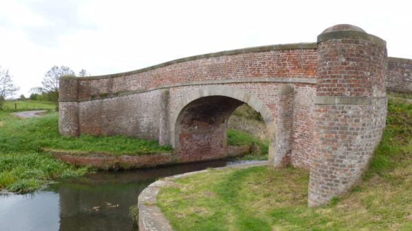
The Pocklington Canal was built in the early 19th century to transport agricultural goods from the East Riding to the south and west. It was built to allow keels to use it. These flat-bottomed boats were used primarily on Northern waterways.

The canal rose by around 101 feet (31 m) along the 9.5 miles (15.3 km) from the Derwent to Pocklington, and so the locks were deeper than many locks on the connected waterways.


Walk Details

Parking

There are two car parks at Canal Head.  

Location

Canal Head is adjacent to the A1079 road, a mile south of Pocklington, joining the River Derwent at East Cottingwith.

Surface

The towpath can be uneven in places and may be muddy during the winter months.

Pocklington Canal Walk Map

Find directions to the Activity

Begin The Walk

1. Canal Head

Start the walk at Canal Head, where the top lock has been restored to working condition. Historically, coal, manure and building materials were unloaded at Canal Head to and transported to Pocklington by horse and cart. Boats then travelled back along the Canal carrying corn, flour and timber.

A seat near the top lock was built in 2009 using old railway track balance beams that were recovered from the Cottingwith Lock.

Alongside Top Lock is the original lock house, which now privately owned. This is the only lock house on the canal.

Continue down the towpath past Silburn Lock.

2. Giles Lock

The third lock you reach is Giles Lock.

The towpath between Giles Lock and Sandhill Lock was in poor condition, but during an IWA Waterway Recovery Group Canal Camp in 2014 funded by PCAS, volunteers removed protruding tree roots and resurfaced the towpath.

3. Sandhill Lock

Arrive at Sandhill Lock. You will see that this lock is under active restoration.

4. Coates Lock & Bridge

Continue down the towpath to see Coates lock, which has already been restored.

Pass under the Grade II listed Coates Bridge. This bridge was built in 1818 and designed by George Leather.

5. Bielby

After about a kilometer (3/4 mile) you will reach the Bielby Arm at Bielby. Bielby Arm is now a nature reserve.

Return back along the towpath to complete the walk.

Explore Nearby

Related activities

Waterway underfunding

Hundreds of miles of waterways – along with their unique heritage and habitats – are currently starved of funding and rely on constant lobbying by us to safeguard their future.

Sustainable Boating

We want boating on canals and rivers to be more sustainable and – even though the current overall contribution to UK carbon emissions is very small – we want to help reduce emissions on the waterways.

Waterways Heritage at Risk

Britain’s canals and rivers are a unique, living heritage. But that heritage is at risk – from urban development, lack of protection, loss of skills and knowledge and climate change.

You can help Save Waterways Heritage.

Waterway restoration

Restoring the UK’s blue infrastructure – our inherited network of navigable canals and rivers – is good for people and places.