
From Wilden Ferry to the Yorkshire Ouse
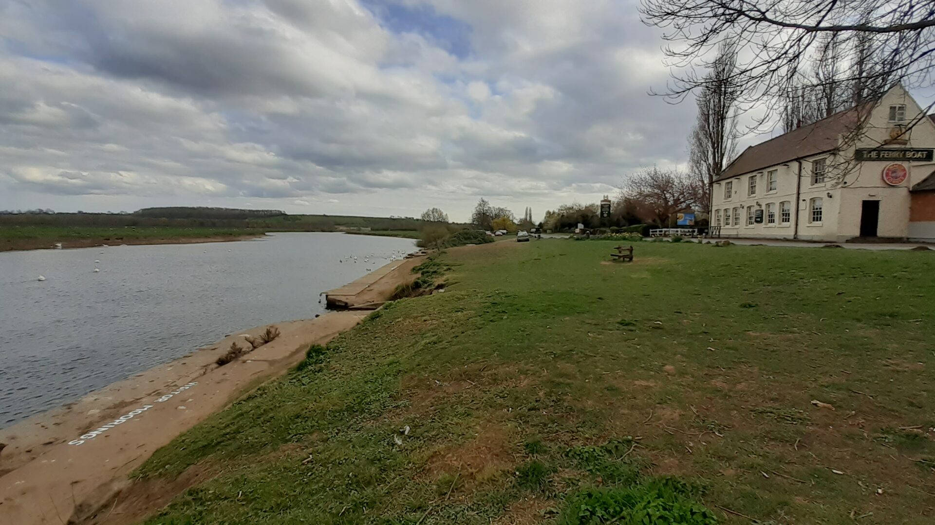
The navigable River Trent runs from Wilden Ferry (Shardlow) to the Yorkshire Ouse and Humber Estuary at Trent Falls.
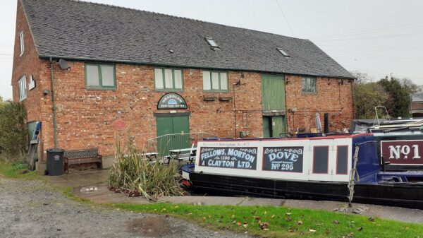
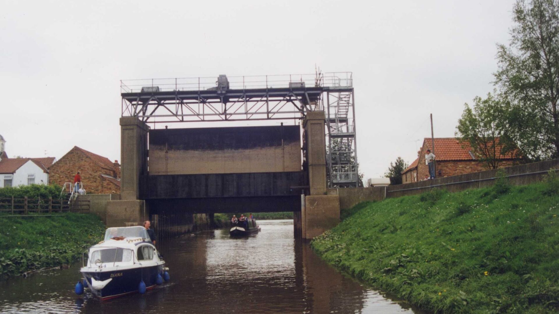
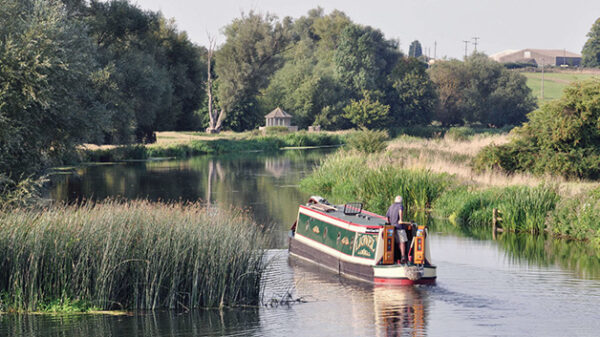
There are connections to the Trent & Mersey Canal (at Derwent Mouth), the River Soar Navigation (at Trent Junction), the Erewash Canal (also at Trent Junction), the Fossdyke Navigation (at Torksey), the Chesterfield Canal (at West Stockwith), the river Idle (also at West Stockwith) and the Sheffield & South Yorkshire Navigation (at Keadby). The river is tidal below Cromwell Lock. The Navigation includes a section of the Nottingham Canal and Beeston Cut.
The Romans used the River Trent for transport and the invading Danes also used the route. In 1699 the first Act of Parliament was passed to improve this navigation, allowing boats to reach Burton-on-Trent. Improvements were then made around Newark to ease access to the town.
[The photo shows Cromwell Lock – by Pauline McGill]