account arrow-down arrow-left arrow-right closecontact-us emailFacebookheart instagramjoin linkedin phonepinterestplaysearch twitteryoutube

Grand Union Canal – Northampton Arm

Opened on 1st May 1815, the Northampton Arm travels through 17 locks and connects the Grand Union canal with the River Nene in Northampton.

Task Party 5th Nov 23
Task Party
task party March 22
Painting a lock
task party March 22
Task Party 5th Nov 23
UsingCRTchipper
Volunteer, around M1 bridge
Volunteers at Work
Volunteer, around M1 bridge
Volunteer_15March22
TP 18 May
Volunteer_15March22
lock maintainence
M1_Lock
wootton brook towpath
task party March 22
task party
Heritage guided walk
Three Men on The BCN
WoottonBrook_Path
new signage
Volunteer strimming vegetation along the Northampton Arm

Facts & Stats

4.5 miles

The length of the Northampton Arm.

17 locks

34 mosaics

There are 2 mosaic panels at each of the locks on the Arm, a lovely trail for children to follow.

200 Years of the Northampton Arm

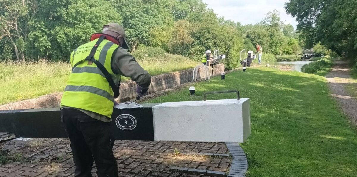
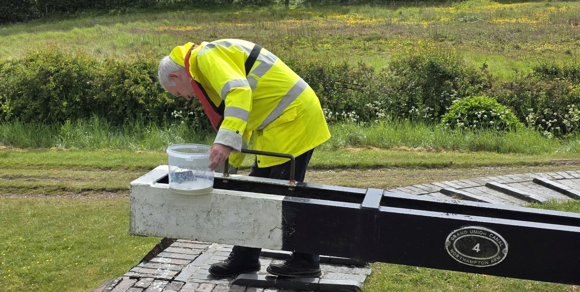
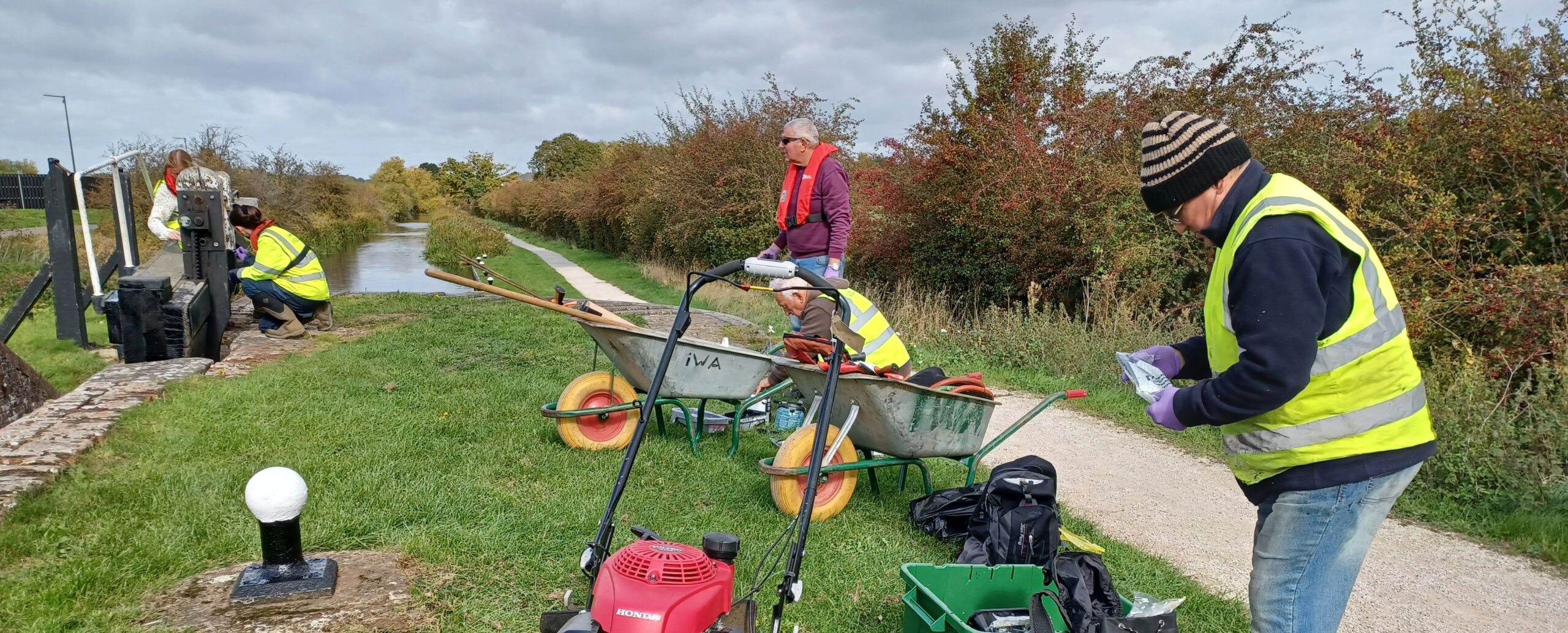
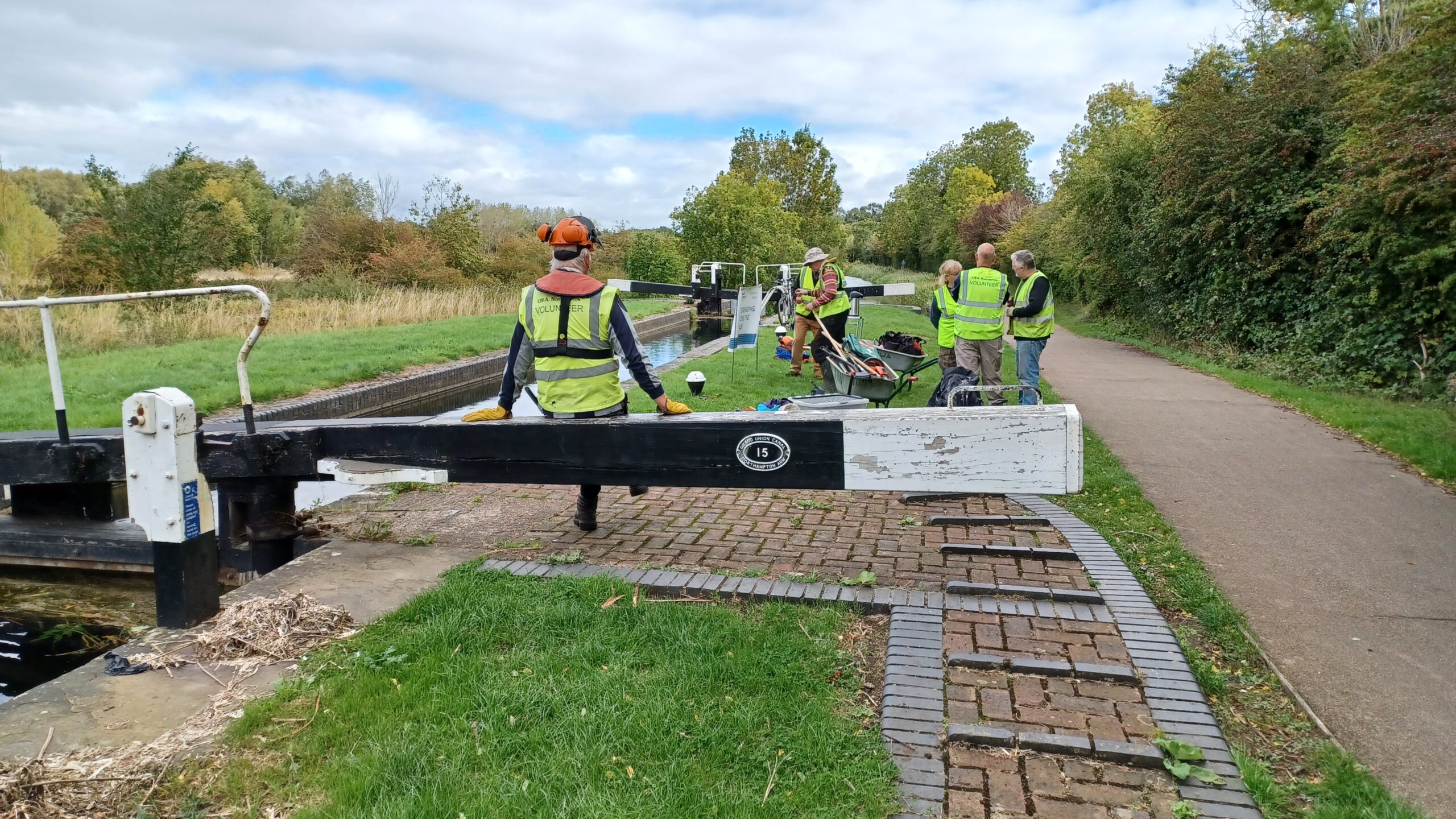
The go ahead for the Northampton Arm was given in April 1793 when the Grand Junction Canal received its Enabling Act in Parliament authorising the construction of a canal branch to Northampton.  This was fantastic news, however the town had to wait another 18 years before the branch became a reality.  The height difference of just over 32m (107 ft) between the Grand Junction and Northampton was a tough obstacle to overcome but 17 narrowbeam locks were installed to scale the difference and on 1st May 1815 the first boats arrived at Far Cotton greeted by crowds of onlookers.

Almost immediately the Arm began to carry a large volume of merchandise and stayed busy for over 100  years through to after the First World War.  In the post war years coal, grain and timber were supplemented by goods needed for the show industry such as strawboards for packing as well as iron ingots for castings.  After World War II the carriage of goods ceased as road competition strengthened.


IWA to the Rescue

By 1968 the survival of the Arm was in doubt.  In consequnce a group of local enthusiasts formed what was to become IWA Northampton Branch.  Rallies were organised to publicise the link created by the Arm between the Fenland waterways and the main canal network culminating in the hugely successful IWA National Rally of 1971 when 650 boats gathered.

During the planning stages of the A43 in the late 1980s it appeared that the proposed road would adversely affect part of the Arm.  IWA entered an objection supported by the then British Waterways and following a Public Enquiry when IWA’s objections were heard, the line of the road was altered to protect the canal.

Today, following IWA Northampton Branch’s adoption of the entire length of the Northampton Arm, and the regular task parties that take place there, the waterway has been transformed with a new 34 panel mosaic trail installed by IWA volunteers and two murals painted on the walls of the M1 motorway bridge.

The mosaic trail was made possible by a legacy from John Faulkner – a long-standing and active supporter of IWA, the hard work of volunteers from IWA’s Northampton Branch led by locals Geoff Wood and Mick Butler, the designs of pupils from local primary schools, Gayton, Briar Hill and Delapre, and the talent of mosaic expert David Bowers.  To get involved and volunteer with the local branch take a look at the opportunities on the branch pages.

Waterway Notes

Maximum boat sizes

  • Length: 22.57m (74ft)
  • Width: 2.13m (7ft)
  • Draught: 1.23m (4ft)
  • Headroom: 2.18m (7ft 1″)

Navigation Authority

Plaques

A brass plaque is available to commemorate a journey along the Northampton Arm.  See the downloadable Northampton Arm information leaflet to find out more about how to get hold of a plaque.

Mosaic Trail

At each of the 17 locks there are two mosaic plaques set into the grass.  One depicts an aspect of canal heritage and the other has a letter associated with an image from nature.  Collect all 17 letters and earn a Certificate of Achievement.

Downloads

Welcome to the Northampton Arm

Download this leaflet for a map of the waterway, including information for boaters as well as details of the Family Mosaic Trail.

(1.93MB)

Download

Local Events

Waterway underfunding

Hundreds of miles of waterways – along with their unique heritage and habitats – are currently starved of funding and rely on constant lobbying by us to safeguard their future.

Sustainable Boating

We want boating on canals and rivers to be more sustainable and – even though the current overall contribution to UK carbon emissions is very small – we want to help reduce emissions on the waterways.

Waterways Heritage at Risk

Britain’s canals and rivers are a unique, living heritage. But that heritage is at risk – from urban development, lack of protection, loss of skills and knowledge and climate change.

You can help Save Waterways Heritage.

Waterway restoration

Restoring the UK’s blue infrastructure – our inherited network of navigable canals and rivers – is good for people and places.

Local activities