account arrow-down arrow-left arrow-right closecontact-us emailFacebookheart instagramjoin linkedin phonepinterestplaysearch twitteryoutube

River Great Ouse

The Great Ouse river is navigable from Bedford to the Wash at King’s Lynn.

Great ouse Map

Facts & Stats

74.8 miles

(120.3km)

The length of the River Great Ouse that is navigable

18 locks

1978

Year re-opened

The navigation was re-opened to Bedford in 1978, following a campaign led by the Great Ouse Restoration Society, and supported by IWA, with volunteer support from Waterway Recovery Group.

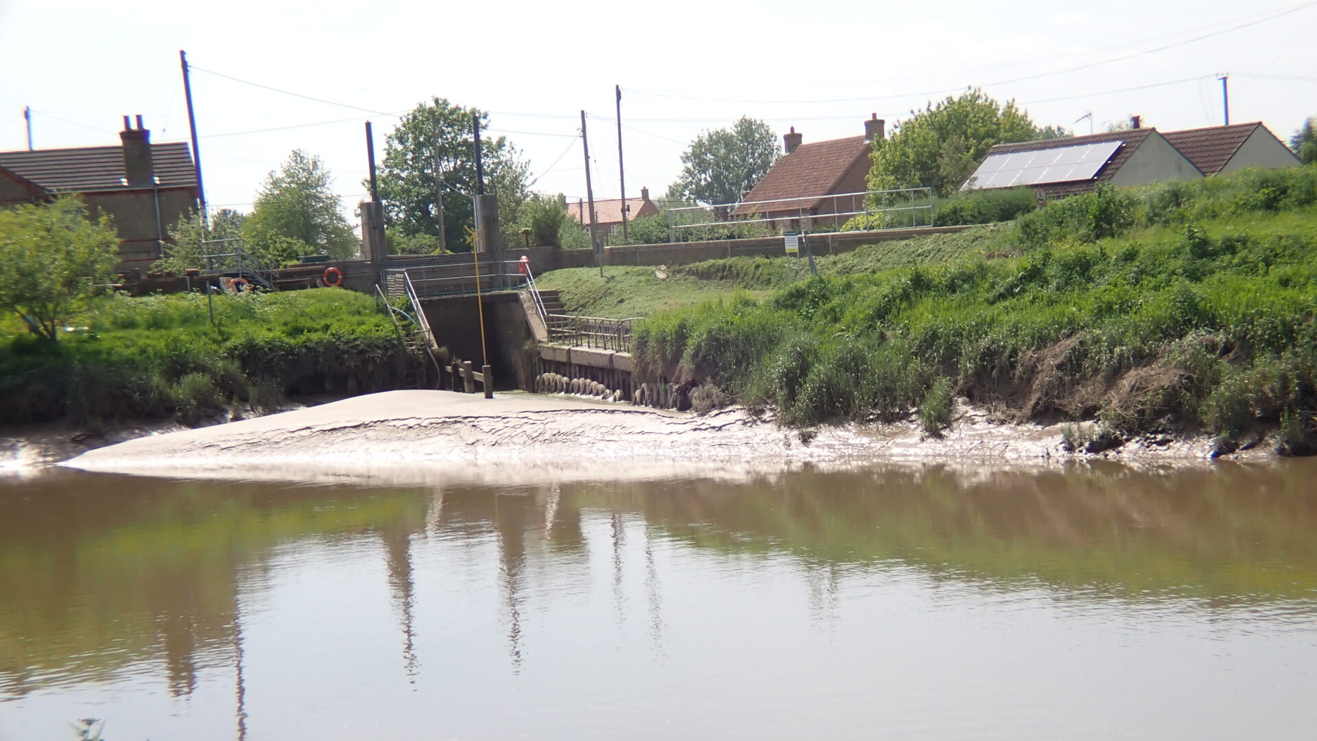
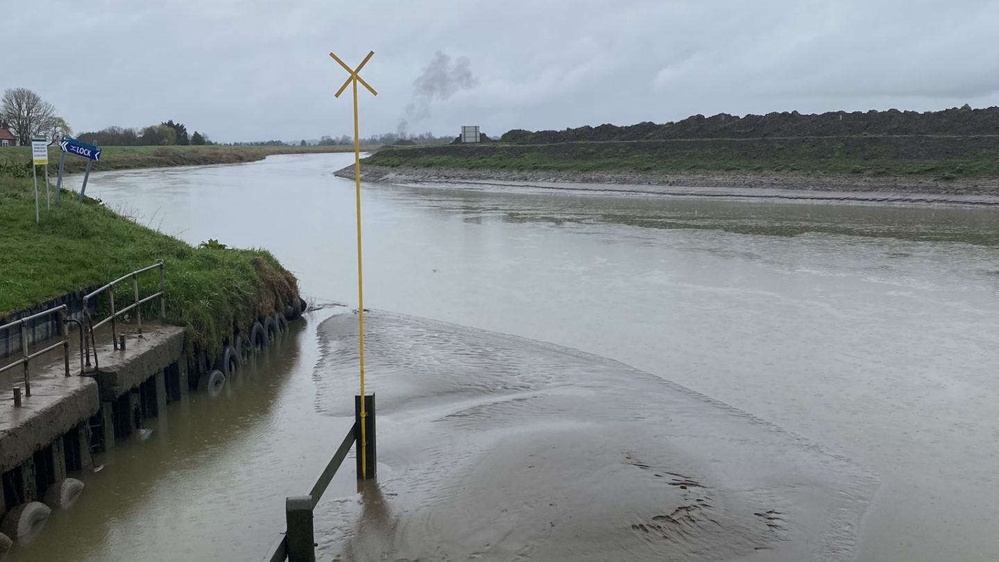
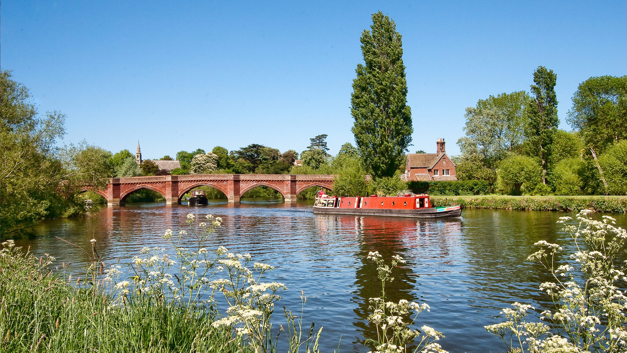
From Bedford to the Wash at King’s Lynn

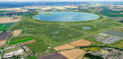
The Great Ouse river is navigable from Bedford to the Wash at King’s Lynn with connections to the River Nene via the Middle Level, the Cam, the Lark (25 miles), the Wissey (10.5 miles) and Little Ouse (16.5 miles).  

There are also connections to the navigable drains of the New Bedford River (20.8 miles), Old Bedford River (12.3 miles) and Flood Relief Channel from Denver Sluice to near King’s Lynn.

Until the 13th century, the river flowed via Upware and Wisbech but then changed its course to come out at King’s Lynn. It became important for trade and from the 17th century improvements were made to the navigation. At the same time, drainage works were carried out in the area. By the early 20th century, navigation had ceased upstream of St Ives, but the Great Ouse Catchment Board reopened navigation to Godmanchester and then Eaton Socon just before the Second World War. 

The navigation was re-opened to Bedford in 1978, following a campaign led by the Great Ouse Restoration Society, and supported by IWA, with volunteer support from Waterway Recovery Group.

Waterway notes

Maximum boat sizes

  • Length: 85′ 4″ (26 metres)
  • Beam: 10′ 4″ (3.1 metres)
  • Height: 7′ 7″ (2.3 metres) – Denver Sluice
  • Draught: 3′ 3″ (1.0 metres) – tidal section will fluctuate with the tide.

Navigation authority

Useful info

The tidal river below Denver Sluice is suitable only for sea-going vessels.  The river is also tidal between Brownhill Staunch and Hermitage Sluice, along with the New Bedford River. Denver Sluice is operated by a lockkeeper – tel: 01366 382340.

For guidance on making the tidal crossing between the Great Ouse and the Middle Level, see our Navigation Guide

Funding of waterways managed by the Environment Agency

Along with its many environmental and flood defence responsibilities, the Environment Agency is the navigation authority for 630 miles of inland waterways – such as the Thames and the Medway in the south east – and many waterways in East Anglia.

Local Events

Waterway news

Waterway underfunding

Hundreds of miles of waterways – along with their unique heritage and habitats – are currently starved of funding and rely on constant lobbying by us to safeguard their future.

Sustainable Boating

We want boating on canals and rivers to be more sustainable and – even though the current overall contribution to UK carbon emissions is very small – we want to help reduce emissions on the waterways.

Waterways Heritage at Risk

Britain’s canals and rivers are a unique, living heritage. But that heritage is at risk – from urban development, lack of protection, loss of skills and knowledge and climate change.

You can help Save Waterways Heritage.

Waterway restoration

Restoring the UK’s blue infrastructure – our inherited network of navigable canals and rivers – is good for people and places.

Local activities