
Waterway Connections
As well as connecting Fossdyke to The Wash via The Haven at Boston, the River Witham has a number of navigable and not-so-navigable connections:
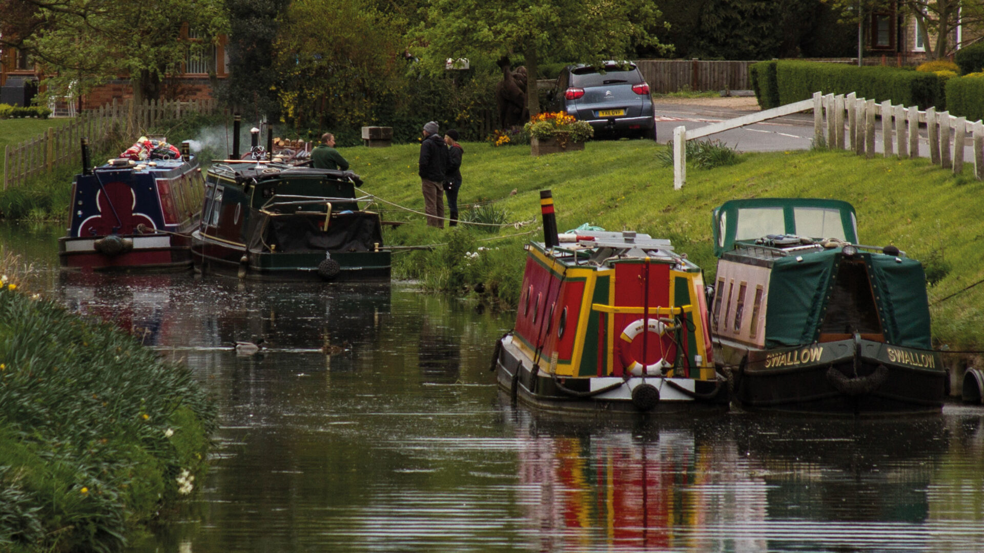
- The Old River Witham leads off the Navigation to the north just below Bardney Lock, and is navigable for about a mile to Short Ferry Bridge where is a marina, large rural pub and caravan park.
- Nocton Delph leads off the Navigation to the south west about half a mile upstream of Southrey, through tidal doors for about 3 miles (4.5 km). There is no winding hole, no towpath on either side and it is shallow. All the tidal doors on waterways leading off the Witham Navigation are likely to close without notice when river levels rise. This is to prevent floodwaters coming down the Witham from backing up tributaries and flooding adjacent farmland.
- Metheringham Delph formerly lead off the Navigation to the south west about a mile downstream of Southrey for a similar distance. Access is now blocked by a pumping station. There is no winding hole, but there is a public footpath / bridleway on both banks. There is a low footbridge halfway along at Tanvats.
- Timberland Delph leads off the Navigation to the south west about half a mile south of Kirkstead Bridge (to Woodhall Spa), through tidal doors, again for about 3 miles. There is no winding hole and no towpath on either side.
- The remains of the Horncastle Canal lead off to the north east about a mile from Tattershall. There is now no access for boats.
- Less than half a mile further downstream, Billinghay Skirth leads off to the south east, under a road bridge and then through tidal doors. Unlike the straight Delphs, this is a winding river navigation, and runs for about 2.5 miles (4 km) to the village of Billinghay, where the navigation peters out at New Bridge and with reduced depth. Local community volunteers have undertaken work to improve the waterway to encourage visitors and there have been boats moored in the village, with light commercial traffic up to the 1930s.
- The Sleaford Navigation (also known as Kyme Eau and river Slea) leads off the Navigation a further 1.5 miles (2 km) downstream.
- There is a connection to the Witham Navigable Drains at Anton’s Gowt, about 2 miles (3 km) upstream of Boston.
- Black Sluice Navigation leads off the tidal Witham (The Haven) at the southern end of Boston.