account arrow-down arrow-left arrow-right closecontact-us emailFacebookheart instagramjoin linkedin phonepinterestplaysearch twitteryoutube

Grand Union Canal – London to Braunston

The Grand Union Canal runs from the tidal River Thames at Brentford to join the Oxford Canal at Braunston.

Grand Union Canal Map – London to Braunston

Task Party 5th Nov 23
Task Party
task party March 22
Painting a lock
task party March 22
Task Party 5th Nov 23
UsingCRTchipper
Volunteer, around M1 bridge
Volunteers at Work
Volunteer, around M1 bridge
Volunteer_15March22
TP 18 May
Volunteer_15March22
lock maintainence
M1_Lock
wootton brook towpath
task party March 22
task party
work party 2nd July 23
Heritage guided walk
Three Men on The BCN
IWA London Walks guide, Charlie Forman
A boat cruising at Wendover Arm on the Grand Union Canal.
A boat festival at Slough Arm on the Grand Union Canal.

Facts & Stats

98.5 miles

(158.6 km)

The length of the main line that is navigable.

102 locks

1793

The Grand Junction Canal – as it was then known – was built between 1793 and 1805

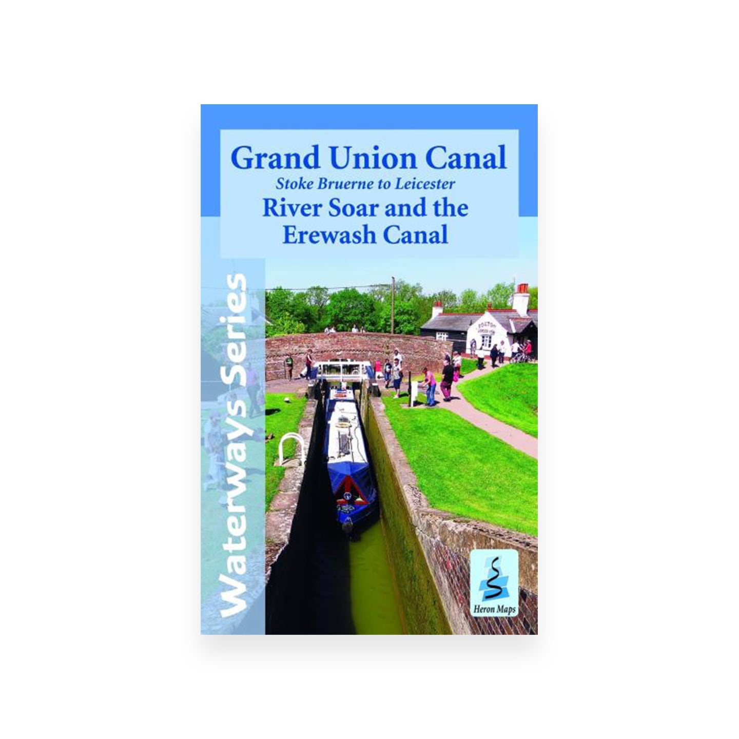
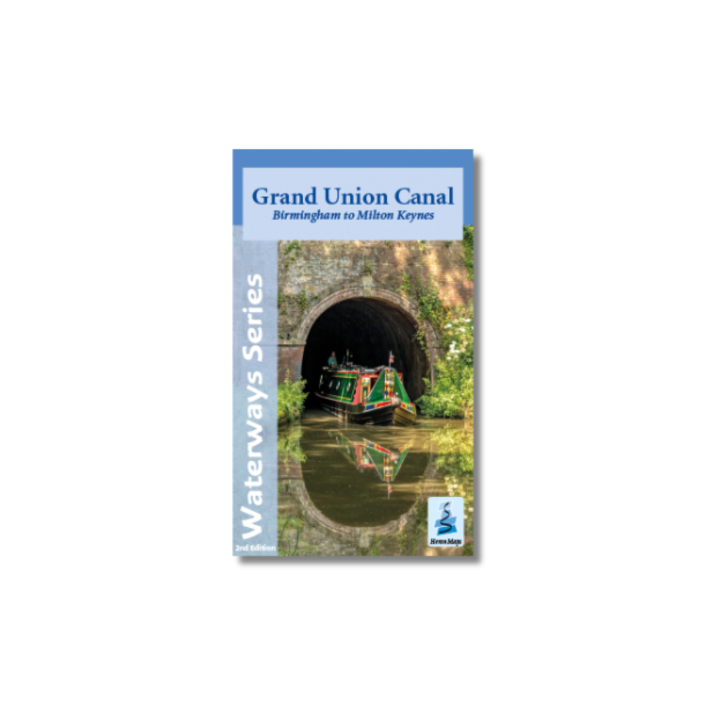
Grand Union Canal from London to Braunston

The Grand Union Canal was formed to link London, the Nottinghamshire Derbyshire coalfields, and Birmingham under single ownership. The main line of this canal was the Grand Junction Canal (Braunston to Brentford). This was authorised in 1793. It provided a more direct route to London than the existing route of the Oxford Canal and the Thames.

Traffic on the canal grew rapidly and reached a peak in 1905, when over 192,000 tons were carried. The brick and gravel trade continued throughout the 1920s and 1930s and also through the War Years. However, by then, the clay and gravel deposits were becoming worked out. Moving waste from London to infill the redundant pits continued for a while, as did the delivery of timber to Slough Wharf. The last recorded commercial cargo was delivered in March 1960.

The Grand Union Canal has many arms

The Grand Union Canal continues from Braunston to Birmingham and is joined by the Grand Union Leicester Line at Norton Junction. 

Arms include:

  • Aylesbury – 6.3 miles (10.1 km) – 16 locks – joins at Marsworth Junction
  • Buckingham – 10.7 miles (17.2 km) – 3 locks – joins at Cosgrove Junction – mostly derelict but under restoration
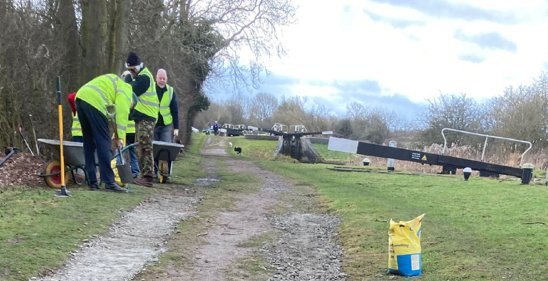
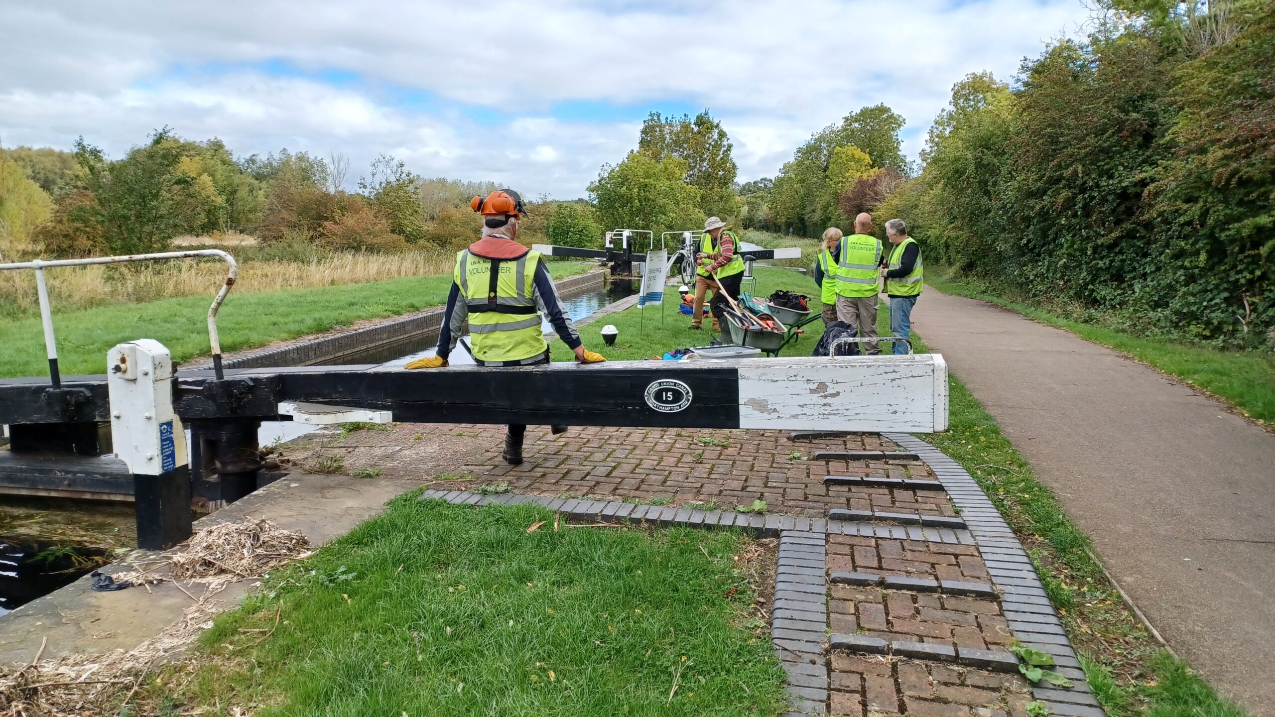
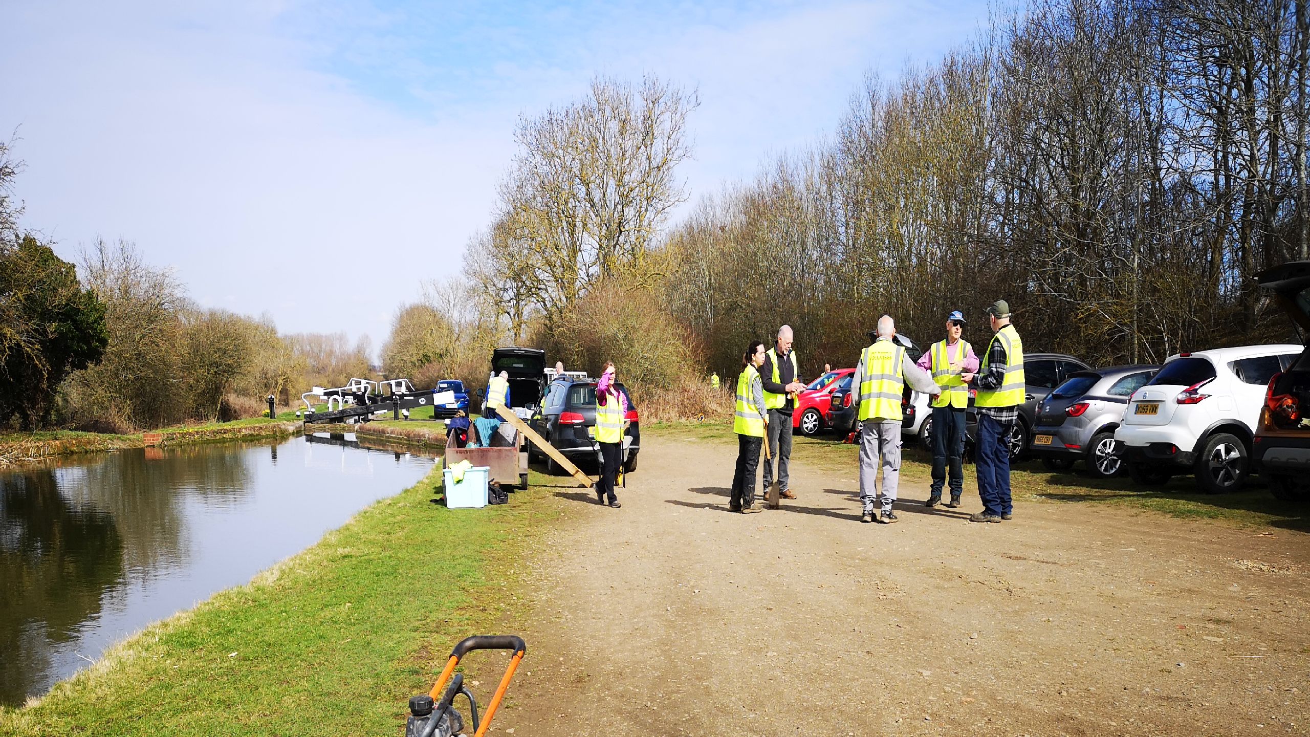
  • Northampton – 4.8 Miles (7.7 km) – 17 locks – joins at Gayton Junction
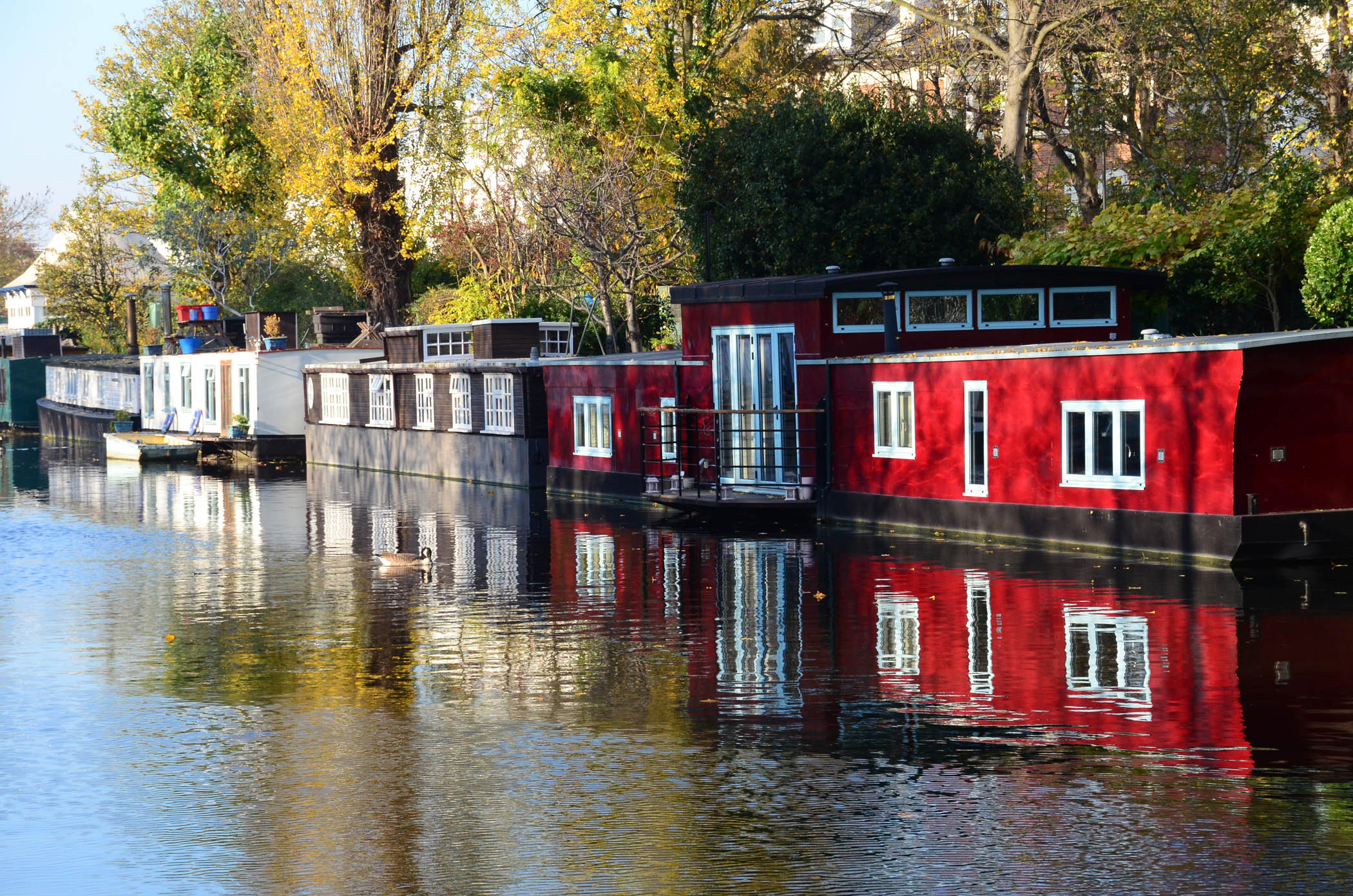
  • Paddington – 13.6 miles (21.9 km) long – no locks – joins at Bulls Bridge Junction
  • Rickmansworth (former) Gas Works (River Chess Branch) – 0.3 miles (0.5 km) – 1 lock – joins at Batchworth Junction
  • Slough – 4.9 miles (7.9 km) long – no locks – joins at Cowley Peachey Junction
  • Wendover (under restoration, partly navigable) – 6.5 miles (10.5 km) long – 1 stop lock – joins at Bulbourne Junction

The River Nene joins the Northampton Arm in Northampton.

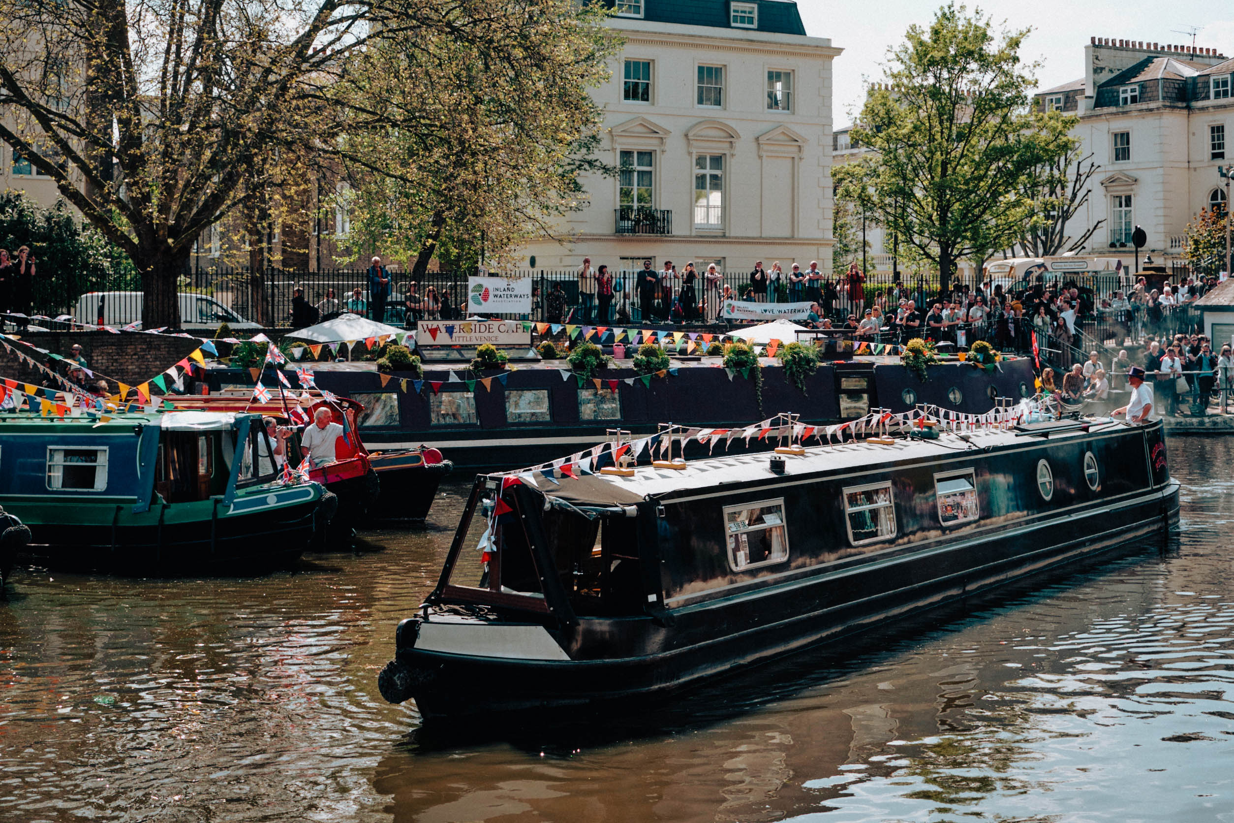
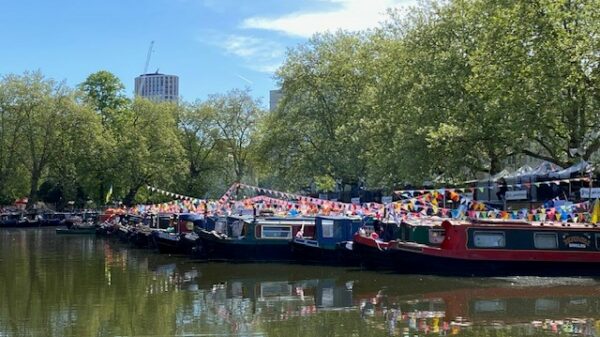
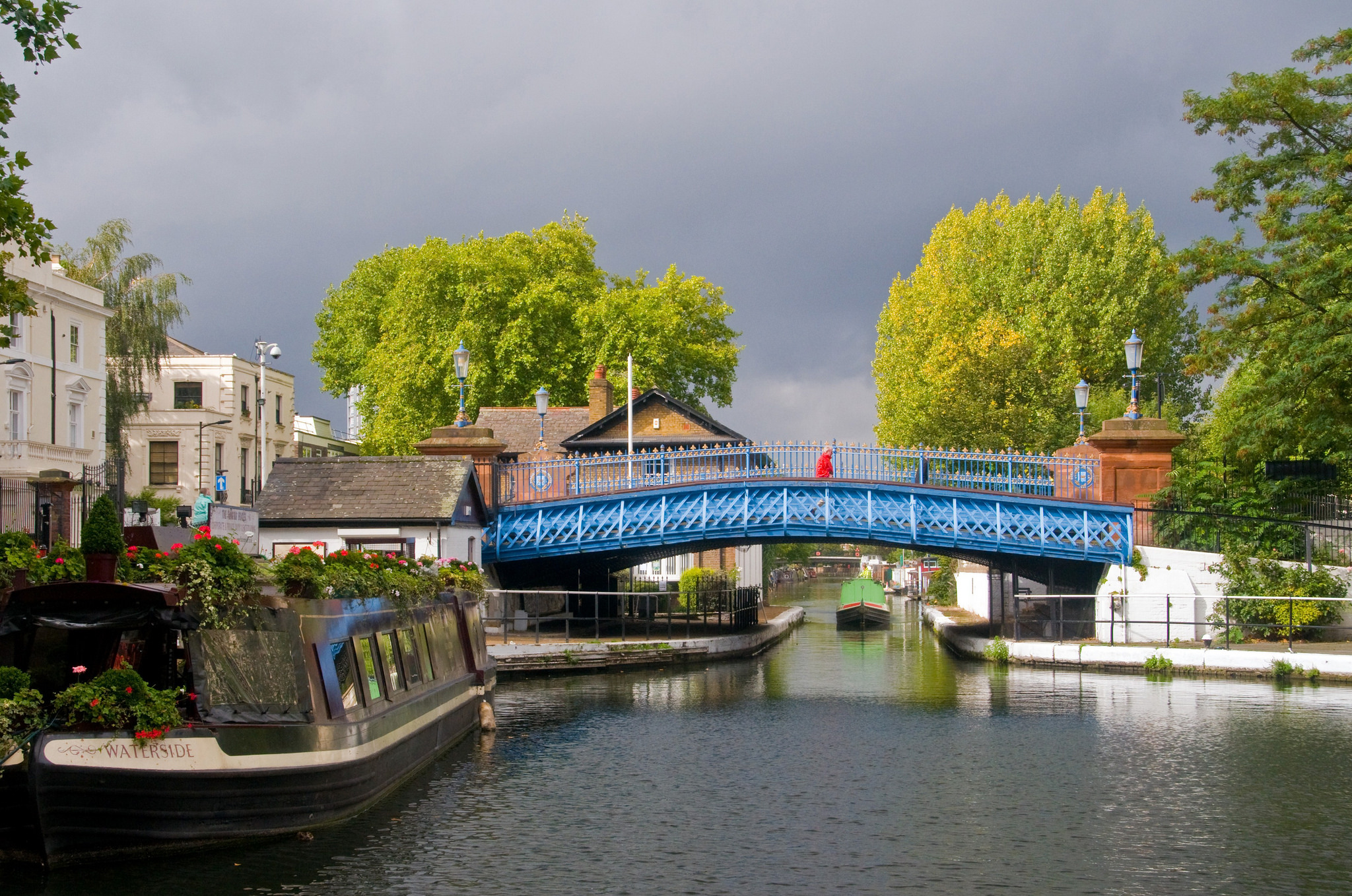
The Regent’s Canal joins the Paddington Arm at Little Venice.

Construction of the Paddington Arm was authorised in 1795 and it was completed in 1801.

The Slough Arm was the last canal to be built in Britain, before the Manchester Ship Canal. Work started to build the canal in early 1880. It was completed and opened on 4th December 1882. The canal was used to transport the bricks from the various Slough brickworks. It was also used for the establishment of various sand, brick and gravel wharves along the line. The existing brickworks expanded their production and transported bricks to many parts of London. 

Waterway notes

Maximum boat sizes (incl Paddington Arm)

  • Length: 79′ 1″ (24.1 metres) – Lock 58 Berkhamsted
  • Beam: 12′ 9″ (3.88 metres) – Tiddenfoot Narrows, Leighton Buzzard
  • Height: 7′ 4″ (2.23 metres) – Harrow Road Bridge 3
  • Draught: 4′ 1″ (1.23 metres) – cill of Lock 58 Berkhamsted Lock

Navigation authority

Branch

Useful info

  • The Aylesbury, Buckingham, Northampton, Slough and Wendover Arms are narrow and have smaller dimensions.
  • The locks south of Bulls Bridge Junction require a Sanitary Station key for operation.
  • Locks 49 (Northchurch) to 51 (Gas Lock 1) are locked and unavailable between 9pm and 8am daily.
  • Lock 53 and Bridge 147 (Winkwell Swing Bridge) require a Sanitary Station key to operate.
  • Locks 7,9, 10, 11 and 15 on the Aylesbury Arm require a Sanitary Station key to operate.

Funding of Canal & River Trust waterways

IWA was instrumental in Canal & River Trust receiving a sufficient funding package from Government when the new charity was set up in 2012 to run the waterways previously managed by British Waterways.

Waterway restoration

Restoring the UK’s blue infrastructure – our inherited network of navigable canals and rivers – is good for people and places.

Local Events

Waterway underfunding

Hundreds of miles of waterways – along with their unique heritage and habitats – are currently starved of funding and rely on constant lobbying by us to safeguard their future.

Sustainable Boating

We want boating on canals and rivers to be more sustainable and – even though the current overall contribution to UK carbon emissions is very small – we want to help reduce emissions on the waterways.

Waterways Heritage at Risk

Britain’s canals and rivers are a unique, living heritage. But that heritage is at risk – from urban development, lack of protection, loss of skills and knowledge and climate change.

You can help Save Waterways Heritage.

Waterway restoration

Restoring the UK’s blue infrastructure – our inherited network of navigable canals and rivers – is good for people and places.

Local activities