account arrow-down arrow-left arrow-right closecontact-us emailFacebookheart instagramjoin linkedin phonepinterestplaysearch twitteryoutube

Sleaford Navigation

The Sleaford Navigation, also known in the initial section as Kyme Eau, leaves the River Witham at Chapel Hill, signposted to South Kyme.

Sleaford Navigation Map

Narrowboats at South Kyme winding hole on the Sleaford Navigation.

Facts & Stats

7.5 miles

(12km)

The length of the Sleaford Navigation that is navigable, up to the tail of Cobblers, along with a short stretch in Sleaford .  A further 5 miles (8 km) awaits restoration.

1 lock

is navigable, one further lock is restored but has no gates, and five locks remain to be restored.

Navigation to Cobblers Lock

Opened in 1794, the Sleaford Navigation ran from the River Witham at Chapel Hill to the centre of Sleaford.

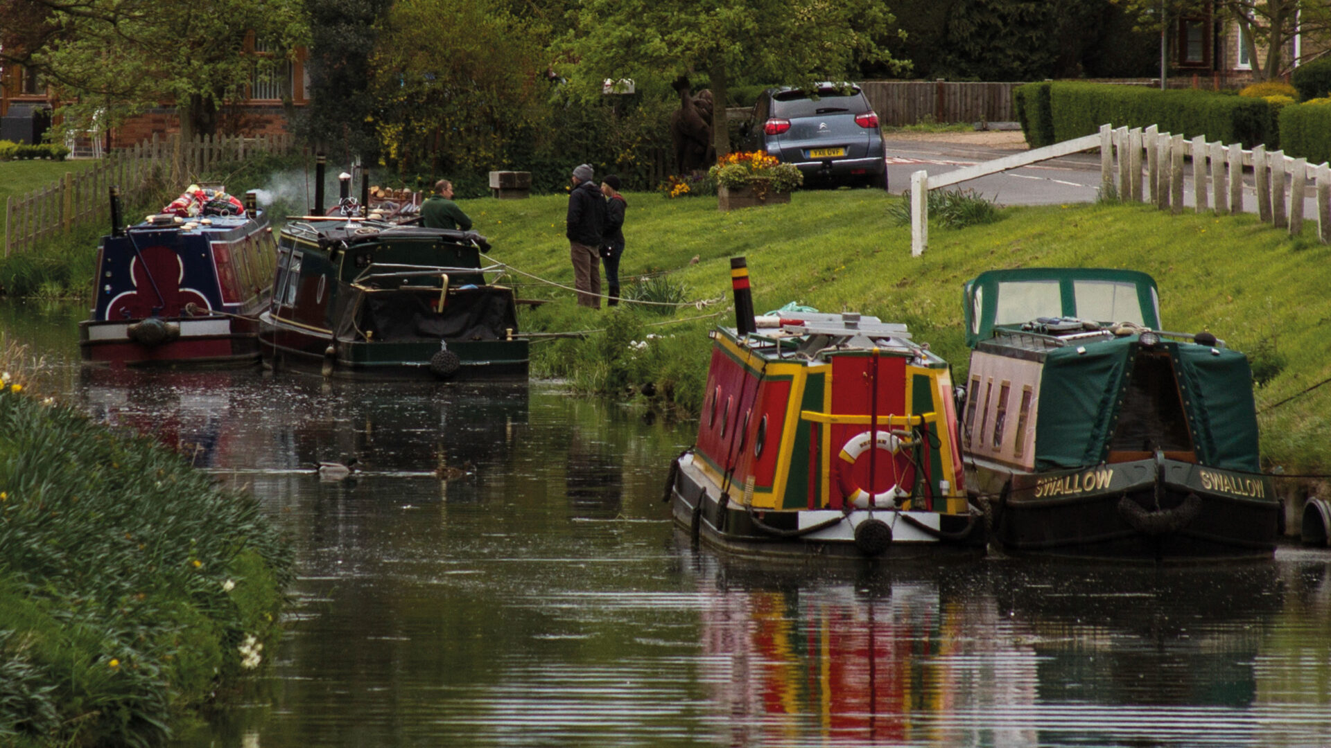
The waterway is navigable as far as Cobblers Lock, where full length narrowboats can wind. On the far side of the village of South Kyme there is a low bridge at Ferry Farm, 1.8 miles above the village. The height of this bridge is indicated on the guillotine gate at Taylors Lock, the first lock up from the Witham. There are visitor moorings in South Kyme and a winding hole 1.2 miles beyond the village for boats unable to negotiate the low bridge.

Restoration of the Sleaford Navigation

Sleaford Navigation Trust has restored the waterway from the River Witham to the current head of navigation at Cobblers Lock. Two of the seven locks have so far been restored.

The first of these, Taylors Lock, was originally restored in the late 1980s and has since been refurbished in conjunction with the Lincolnshire Waterways Partnership. Cobblers Lock was restored by volunteer labour in the 1990s, but flood protection works on the banks above the lock need to be completed before gates can be installed. More recently, with support from IWA’s Waterway Recovery Group, the Trust has worked on the bywash at Haverholme Lock.

Visitor moorings have been created along the Sleaford Navigation in the village of South Kyme.

Navigation House, in Sleaford, has been restored. A project to create a new head of navigation in the town in 2010, saw a low concrete footbridge replaced by a new steel lift bridge and the building of a slipway.

Waterway notes

Maximum boat sizes

  • Length: 71′ 6″ (21.9 metres)
  • Beam: 14′ 6″ (4.2 metres)
  • Height: 6′ (1.8 metres) (But see note above)
  • Draught: 3′ 6″ (1.2 metres)

Navigation authority

None, but Environment Agency is responsible for flood prevention and drainage on the river.

Useful Info

  • A Canal & River Trust key is needed to operate the guillotine gate.  An additional boat licence is not required.

Restoration Group

Waterway underfunding

Hundreds of miles of waterways – along with their unique heritage and habitats – are currently starved of funding and rely on constant lobbying by us to safeguard their future.

Sustainable Boating

We want boating on canals and rivers to be more sustainable and – even though the current overall contribution to UK carbon emissions is very small – we want to help reduce emissions on the waterways.

Waterways Heritage at Risk

Britain’s canals and rivers are a unique, living heritage. But that heritage is at risk – from urban development, lack of protection, loss of skills and knowledge and climate change.

You can help Save Waterways Heritage.

Waterway restoration

Restoring the UK’s blue infrastructure – our inherited network of navigable canals and rivers – is good for people and places.

Local activities